
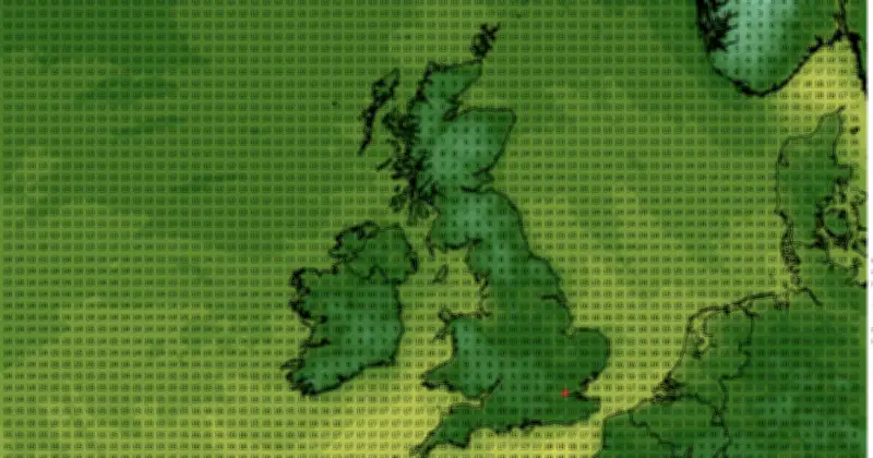
The UK is currently experiencing its third heatwave of the summer, with temperatures expected to reach 36C today. However, according to WXCharts weather maps, this scorching spell will be short-lived as an Arctic blast is set to bring temperatures plummeting to as low as 7C by Tuesday, July 21.
Sharp Temperature Drop Across the UK
The dramatic turn will see southern areas such as Hertfordshire and Berkshire drop to 10C on Tuesday. Gloucestershire is forecast to fall to 9C, while parts of Yorkshire are also predicted to dip below 10C. The Midlands may see highs of around 12C, a stark contrast to the current temperatures in the thirties.
Coldest Regions: Scotland and Wales
Scotland will experience the coldest conditions, with many counties sitting at a chilling 7C. Although Scotland has remained cooler during the heatwave, this is still a significant drop. Powys in Wales may also feel the shock of a low 7C on Tuesday. Early morning temperatures in Cumbria and Durham are forecast to be a frosty 7C at around 6am.
Continued Cool Spell and Thunderstorm Risk
These cool spells are expected to persist into the following day, with temperatures not predicted to climb into the teens. The Met Office has warned of thunderstorms spreading into the south of the UK from France, along with spells of wet and windier weather later in the period.
The Met Office forecast states: "There will, however, be a risk of thunderstorms spreading into the south of the UK from France at times. Temperatures will be warm or very warm for most, perhaps hot at times in the southwest, but probably not as hot as of late."
It adds: "Later in the period the chance of low pressure increases, which may bring spells of wet and windy weather at times."




