
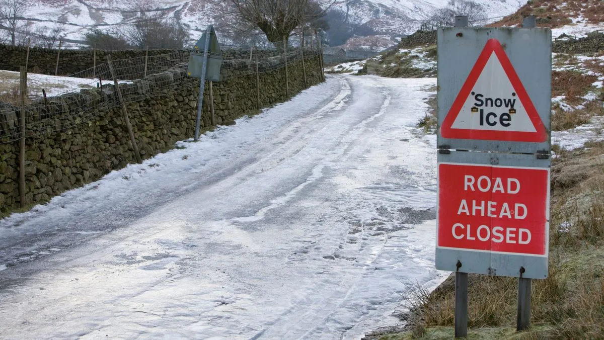
The UK is set to be hit by a 30-hour Arctic blast, with weather maps from WXCharts predicting snow, rain, and icy winds from 6pm on November 6 until midnight on November 8. Temperatures could drop as low as -2°C in some regions, with the worst affected areas including Scotland, Wales, and as far south as Devon.
Scotland is expected to see the heaviest snowfall, with up to 3cm per hour, while Devon may experience lighter snowfall of around 0.3cm per hour. Wind chill will make temperatures feel even colder, with Ceredigion in Wales facing lows of -4°C. Other areas such as Herefordshire, Lincolnshire, and Cumbria will also feel the bitter chill, and the Cairngorms National Park in Scotland could see temperatures plummet to -10°C.
The cold snap is caused by a jet stream from the Arctic, feeding into an already unsettled weather pattern. The Met Office has forecast a weakening band of showery rain moving across England and Wales, with patchy rain in Northern Ireland and bright intervals elsewhere. It will be windy, though somewhat milder in far southwest England.
In its long-range forecast from October 28 to November 6, the Met Office noted the possibility of wintry conditions on higher ground in the north. It stated that high pressure is likely to build across the southern UK by midweek, bringing an increased chance of frost and fog, with temperatures near or above average initially but possibly turning colder later, especially in the north.




