
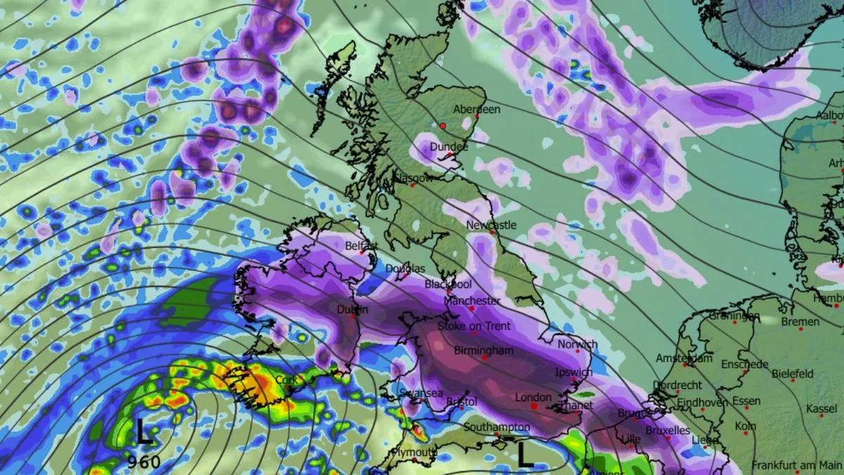
A massive winter storm could bring up to 69 inches (175cm) of snow to parts of the UK, according to advanced weather modelling maps from the ECMWF. The blizzard is forecast to hit on February 9, initially affecting South Wales, southern England, the Peak District, the Yorkshire Dales, the Pennines, and parts of Scotland.
As the day progresses, snow is expected to engulf most of the country. By 6am, heavy snow will be falling across most of England, Wales, and Northern Ireland, with cities including London, Birmingham, Nottingham, Manchester, Liverpool, Cardiff, and Belfast all expected to see snowfall. The snow will continue northwards, reaching Newcastle, Edinburgh, Glasgow, Aberdeen, and Dundee by midday.
Snow depth charts reveal staggering accumulations: up to 175cm (69 inches) over hills in Scotland, 20cm (eight inches) in South Wales, 8cm (three inches) in northern England, and similar amounts in southern areas. Northern Ireland could see 4cm (1.5 inches). The maps suggest roughly 90% of the country will be covered by snow by midday on February 9.
The Met Office has also warned of potential snow in February, with its forecast for February 9 to 23 stating: 'With the jet stream likely further south than normal, the wettest conditions are more likely in central and southern areas. North and northwestern parts of the UK are most likely to be drier than normal. Whilst mild incursions of wet and windy weather are favoured at times in the south and west, colder conditions in the north and northeast will bring an increased risk of wintry hazards.'
Earlier snow is also possible, with the Met Office's forecast for January 30 to February 8 noting: 'Rain may be heavy and persistent, especially in the south and west. Where fronts from the southwest do reach the cold air towards the northeast, there is the risk of some snow, most likely across hills, but perhaps extending to lower areas at times.'




