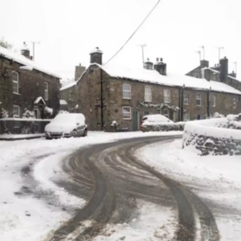
UK Snow Map Reveals Regions Facing Flurries Within Hours
The Met Office has named multiple UK regions that are expected to see snow on higher ground before Monday, with temperatures predicted to plummet to a freezing -2C. This abrupt cold snap results from Arctic air colliding with rain advancing from the west, creating a wintry onslaught across parts of the nation.
Forecast Details and Affected Areas
Brits across various parts of the country are being advised to prepare for chilly conditions, as the national weather authority has issued warnings for snow within hours. The UK has recently experienced torrential rain and fierce winds, but now a low-pressure system sweeping in from the north-west is set to bring a significant temperature drop.
Meteorologists indicate that a band of rain moving from the west will meet frigid Arctic air, sparking snowy conditions, particularly before Monday morning on March 16. While many areas will face blustery showers, the north and elevated terrains are expected to confront the most severe weather, with potential for snow above around 400 metres.

Regional Predictions and Temperature Plunge
Based on the latest Met Office predictions and weather charts, the following areas are most likely to experience snow, predominantly on higher ground:
- Scottish Highlands: Showers dying out with clear spells and a frost developing in the east. Cloud increasing from the west with outbreaks of rain, preceded by hill snow, spreading east overnight. Strengthening southerly winds and a minimum temperature of -1°C.
- Yorkshire Dales: Soon turning wet and windy. Rain will clear away southeastwards later in the afternoon, leaving squally heavy showers turning to snow over high ground. Feeling cold in the wind with a maximum temperature of 11°C.
Forecasters suggest that the hardest-hit regions will be in the north of the country, especially on elevated terrain. Maps show that some areas could see temperatures plunge to -2C overnight, marking a stark contrast to just seven days ago when sections of England enjoyed spring-like sunshine with temperatures reaching 19C.
Expert Insights and Weather Patterns
Met Office forecaster Annie Shuttleworth explained, "We've got showers pushing in across more northwestern areas throughout the day, they won't be as frequent as they were yesterday but they still bring a risk of snow above around 400m. From the west, that wet and windy weather does spread, bringing a lot of cloud across much of western parts of the UK into Wales and across the Midlands as well."
She added, "In the far east, we could see a touch of frost on Sunday morning, but I think that milder cloudier weather will push in so that frost risk won't last all that long into Sunday morning."
Meteorologists have attributed this sudden change to a cold plunge over North America, which has turbocharged the jet stream and pulled down frigid Arctic air across the Atlantic. This shift underscores the unpredictable nature of British weather, transitioning rapidly from warm spells to wintry conditions.
Residents in affected areas are urged to stay updated with local forecasts and take necessary precautions as the cold snap sets in, potentially impacting travel and daily activities.