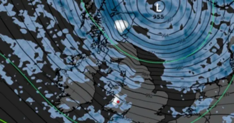
Central Scotland is forecast to be covered in snow early on Sunday morning, October 25, as a period of wintry weather brings high winds and a drop in temperature across the UK. Weather maps generated by WXCharts show snow settling on a stretch of Scotland from Oban in the west to Aberdeen in the east, with flurries also expected in Dumfries, around 20 miles from the English border, at 3am on Sunday.
Wintry Conditions Across the UK
Temperatures are expected to fall below 0C across the country, while most of the rest of the UK will experience heavy rainfall and winds in lieu of snow. The maps suggest depths of around 1mm could be recorded near Aberystwyth in Wales later on Sunday morning, while northern England and most of the western coast could see up to 2.5mm of rainfall per hour throughout the day.
The change in conditions follows a record hot summer and a mild start to October, with the UK's average temperature around 2.3C above normal during the first half of the month.
Met Office Wind Warning
The Met Office has issued a yellow weather warning for wind for parts of the South East, South West and Wales on Friday. The warning is in place from midnight on Friday until midday on Friday, covering large swathes of the South West, parts of Wales and a small section of the South East along the coast as far as Brighton and into east Sussex.
The forecaster warned that gusts of 50 to 60mph are possible, while some coastal or exposed areas could see 70mph or more. People have been advised to secure loose items outside their homes and prepare for the possibility of power cuts.
Unsettled Week Ahead
The Met Office has forecast an increasingly autumnal theme to this week's weather overall, with low pressure bringing rain and wind across the country. Showers are set to move northwards across the UK on Tuesday, with another front moving in from the west by the evening, bringing further heavy rain.
By Thursday, a developing area of low pressure will bring the potential for powerful winds and more rainfall. The Met Office has not gone so far as to predict snow, but does expect a drop in temperatures as part of the "unsettled and chilly picture" of the next few days.
Deputy forecaster Tom Crabtree said: "An area of the forecast we're particularly focusing on is the development of a potentially deep area of low pressure that could cross the UK overnight on Thursday and through Friday. It has the potential to bring some strong winds, though the location of the strongest winds will be determined by the low position. At this stage, people should keep an eye on the forecast and be prepared for some unsettled weather at the end of the week."