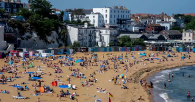
Hot weather is forecast to sweep across the UK next week, with temperatures potentially reaching 29C. WXCharts maps indicate that the warm conditions will arrive on September 7, bringing sweltering heat to many regions of the country.
Thunderstorm warnings precede warm spell
The weather charts come days after the Met Office issued a number of thunderstorm warnings for several parts of the country. On Thursday, heavy rain and thunderstorms are expected to move north across the UK. Some areas may see long periods of intense rainfall, which could lead to high rainfall totals and increase the risk of localised flooding and travel disruption.
Met Office Chief Forecaster Steve Willington said: “As we move into Wednesday there is a growing risk of heavy rain and thunderstorms, with warm and humid air helping to trigger heavy showers and thunderstorms. Some places could see significant amounts of rain falling in a short period of time, bringing the potential for localised flooding, travel disruption and frequent lightning.

“On Thursday, slow-moving heavy and thundery rain may bring prolonged rainfall to some areas, increasing the risk of localised impacts. There remains some uncertainty around where the heaviest rain will fall, so it is important to keep up to date with the latest forecast and warnings”
Regions expected to see highest temperatures
However, the conditions will turn warmer by the first week of September as the hot weather kicks in again. The country has witnessed record-breaking five heatwaves this year leading to drought and wildfires in many regions.
According to the weather maps, areas around Nottinghamshire, Leicestershire and Northamptonshire will see the highest temperatures of 29C. Other areas including London, Birmingham, Oxford, Surrey, Manchester, Leeds, Liverpool, Essex and Kent will see the mercury levels hovering around 28C.
Long-range forecast remains unsettled
The Met Office's long-range forecast between August 31 and September 9 reads: "Likely remaining unsettled with showers or longer spells of rain across all areas at times.
"Rainfall amounts will probably be above average for the time year with the wettest conditions in the northwest. Potential for some strong winds at times.
"Some drier and more settled interludes could develop, perhaps becoming longer in duration across southern areas later in this period.
"Temperatures are likely to be near average, although some short-lived warm or very warm spells are possible, especially in the south."