
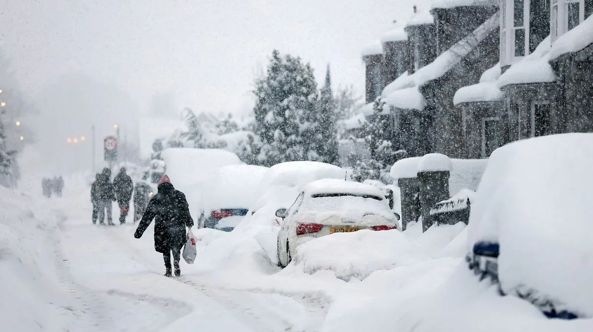
The UK is bracing for a massive snow bomb stretching 578 miles, expected to dump up to 23 inches of snow in some regions. According to weather maps from WXCharts using MetDesk data, the icy blast will extend from Oban in Scotland down to Plymouth in early March.
The snow is forecast to begin around 6pm on March 5, with many parts of Scotland, the North West, North East, and Yorkshire seeing significant snowfall. By midnight on March 6, Perth and Kinross could see depths of about five inches, while Argyll and Bute and Stirling may reach four inches. Cumbria is expected to be the worst affected area in England, with snow depths up to six inches.
Wales, particularly the north and central regions, will experience lesser snowfall, but the system will continue south toward Devon and Cornwall. Temperatures are expected to plunge below zero across the affected areas.
The Met Office's long-range forecast for February 25 to March 6 indicates changeable conditions with Atlantic frontal systems, heavy rain in the west, and windy spells. Temperatures, initially well above average, are likely to fall closer to average with colder spells towards the end of February and into March, possibly bringing sleet or snow showers in the northwest, especially over high ground.
While temperatures are expected to rise above average in the following weeks, the Met Office warns that short-lived colder interludes remain possible.




