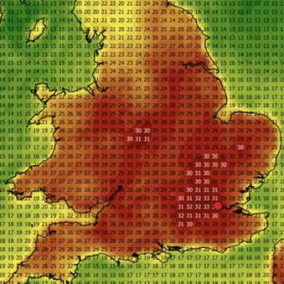
The Met Office has announced that the United Kingdom is set to experience a significant shift in weather patterns, with heavy rain forecast to sweep across the country over a 21-hour period. This comes just days after the nation recorded its hottest ever May day, with temperatures reaching 35.1°C at Kew Gardens in London.
Timing and Affected Areas
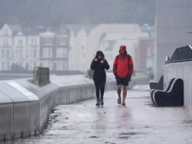
According to Met Office weather maps, downpours are expected to stretch across much of the UK, with 23 counties on alert. The rain is predicted to begin at 1pm on Monday, June 1, and continue until 10am the following day. Some areas could receive up to 8mm of rainfall. Among the regions likely to be affected are parts of London, Kent, Cornwall, Greater Manchester, Yorkshire, and Scotland, including Dumfries and Galloway, Argyll and Bute, the Scottish Highlands, and Perth and Kinross.
Full List of Counties
- Pembrokeshire
- Carmarthenshire
- Cornwall
- Devon
- Somerset
- Greater Manchester
- Dorset
- Bristol
- Bath
- York
- North Yorkshire
- Gloucestershire
- Hampshire
- Greater London
- Hertfordshire
- Cambridgeshire
- Lancashire
- Kent
- Dumfries and Galloway
- Argyll and Bute
- Scottish Highlands
- Perth and Kinross
End of the Heatwave
The Met Office has confirmed that the widespread heatwave, which saw record-breaking temperatures, will gradually reduce in intensity. Chief Forecaster Chris Bulmer explained: "We're now starting to see this spell of very hot weather break down. While parts of the southeast could still reach highs of 32°C on Thursday, many areas will begin to feel fresher conditions moving in through Friday and into the weekend as a weak cold front moves southeast and becomes more established across most of the UK by Saturday."

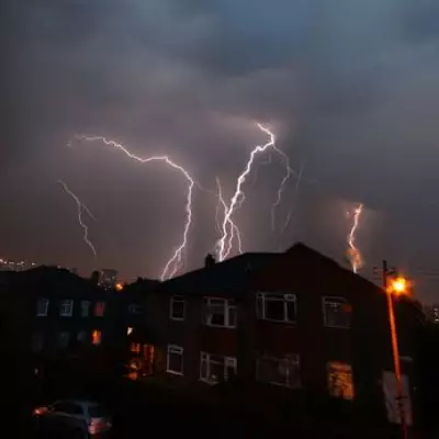
As the heat eases, the weather will turn more changeable, with showers and thunderstorms possible. By the weekend, temperatures are expected to be much closer to the seasonal average, accompanied by rainfall for many areas through the weekend and into the start of next week.
Forecast for Early Next Week
From Monday, further spells of rain or showers are likely to move across the UK, though these may be interspersed with brighter intervals. The Met Office notes that temperatures will be closer to average than in recent days, signaling a return to more typical June weather.