
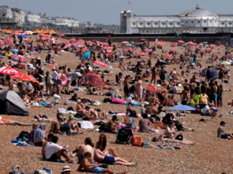
After nearly two weeks of scorching temperatures, the UK is set to be hit by three August 'Mediterranean meltdowns', with forecasters predicting highs of up to 38C. The start of the school holidays will see gorgeous blue skies and packed beaches, as temperatures climb to 27C this week and reach 30C by Friday.
Showers and a Brief Cooldown
Next week, showers will green up parched grass, with temperatures easing slightly but still remaining above average in the mid-20s. However, forecasters warn that roasts are due again by the start of August, with heat roaring in from the Mediterranean.
Potential 38C Heatwave
Top forecaster Brian Gaze said: 'Exceptional temperatures have been seen in three heatwaves already this summer. With heat and extreme temperatures continuing on the continent, forecast models indicate this warmth pushing from around the Mediterranean to Britain at times during August. Summer peak temperatures have often been recorded in early August in the past, and highs pushing to the high 30s are likely ahead.'
Met Office Outlook
A Met Office forecaster added: 'High pressure will remain in charge with plenty of sunny spells and dry conditions. A more unsettled period follows early next week, especially for the North. Temperatures may become very warm again by the start of August. Further into August, temperatures are very likely to remain above normal, with further hot spells, particularly for the South.'
Rain for Some Areas
While the UK braces for record-breaking heat, some Brits will face rain in the upcoming week. Much of the north and east are set to be hit by wetter spells over the next few days. According to the Met Office: 'Northern and north-western areas will be cloudier with occasional patchy rain or drizzle. Into the weekend and perhaps the start of next week, more unsettled weather with rain at times, especially across northern parts of the UK. This rain may very well reach southern areas too, but could become more light and patchy here.'




