
The United Nations has warned that a new El Niño weather pattern could begin within weeks, potentially becoming one of the strongest on record. The World Meteorological Organization stated that the event is likely to intensify over the rest of 2026, driving extreme weather globally. Forecasts from national agencies suggest it may develop into a 'super' El Niño, with sea surface temperatures in the central Pacific exceeding two degrees above average.
Scientists have observed a massive wave of warm water, more than 6°C above normal in places, moving eastwards across the Pacific Ocean at depths of hundreds of metres. This deep-sea heat often precedes warmer surface waters, which can disrupt weather patterns worldwide. Professor Adam Scaife of the UK Met Office expressed high confidence in a significant event, noting it could even set a new record.
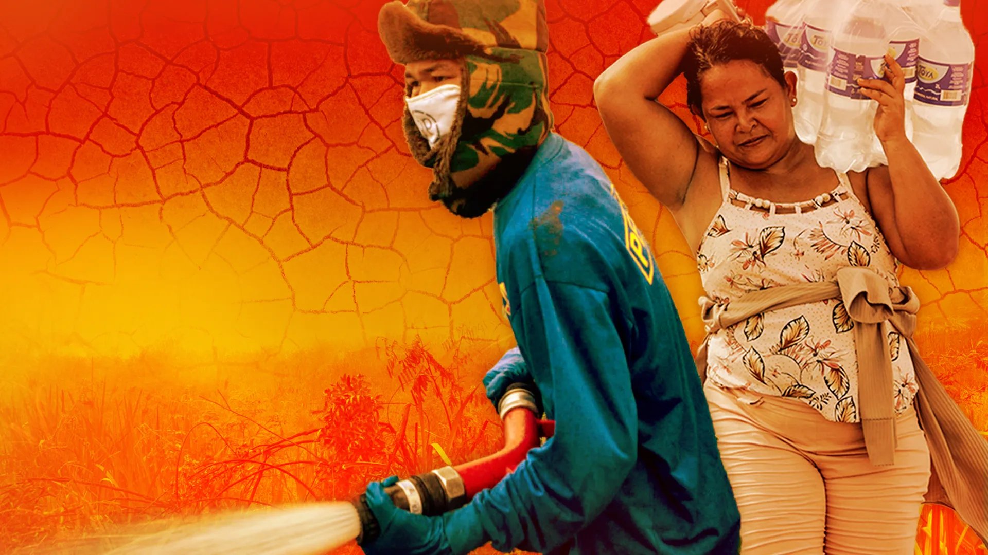
El Niño typically brings hot, dry conditions to parts of South America, Southeast Asia and Australia, raising risks of droughts and wildfires. It can weaken the Indian monsoon and increase flooding in the southern US. For the UK, El Niño may lead to a mild start and cold end to winter, though its influence on northwest Europe is less pronounced. Past strong events have been linked to spikes in food prices and trillions of dollars in economic losses.

UN Secretary General António Guterres warned that El Niño will 'pour fuel on the fire of a warming world,' with impacts crossing borders rapidly. Even if this event falls short of 'super' status, the consequences could be extreme because the planet is already hotter due to climate change. The year 2027 is expected to be among the warmest on record, partly due to this El Niño.


