On Monday, while walking to the corner shop, I had to stop recording a voicenote because I was being pummelled by small yet insistent hailstones. On Tuesday, I squelched to the station amid a downpour, rain seeping into my shoes. Today, I am slipping a tube of factor 50 into my bag and googling which local cafes have the best aircon. Temperatures are predicted to hit 28C in London, beating the 26.6C previously recorded at Kew Gardens on 8 April to make it the hottest day of the year so far.
Why the Sudden Change?
In a week of weather whiplash, people up and down the UK have been left slightly shellshocked by this sudden, drastic change. So what is going on? Why did we seem to start off in winter and transition to summer overnight? It is all about airstreams, otherwise known as wind direction, and where they are coming from, according to Jim Dale, senior meteorologist at British Weather Services.
“What happened at the beginning of May is that we inherited a modified polar airstream,” he says. “The polar front came down – that is the division between temperate air. What that meant was we were in a cool-to-cold block rather than anything warm, and we have remained in it for most of the month.” What has caused the swift change now is almost the reversal of that process: “The polar front is going further north, and that allows in the southerly airflow of Africa across Spain, across France into the UK – and hey presto, air pressure rises and we get the sunshine and the warmer temperatures, and with it the humidity, and probably the odd thunderstorm.”

High Pressure Building
Jason Nicholls, lead international forecaster for AccuWeather, adds that the reason for the big change heading into the weekend is the ridge of high pressure near Spain building over western Europe over the next few days. “The building ridge will lift the jet stream and storm track north of the UK, which was aimed at northern Europe, leading to the cool and wet weather over the last several days,” he says. “The peak of the warmth in the UK is expected this weekend into early next week.”
Heatwave Expected Over Bank Holiday
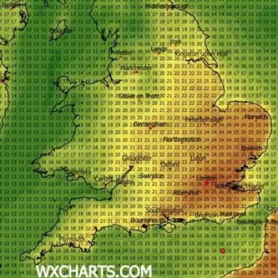
This weekend, temperatures could hit 30C in parts of the South East. If that happens before bank holiday Monday, it will be the earliest date this has happened in the UK for more than 70 years. Yellow heat health alerts, aimed at those who are particularly vulnerable, such as the elderly and those with existing health conditions, have been issued by the Met Office for five English regions: the East Midlands, the East of England, London, the West Midlands and the South East. They come into force at 9am on Friday and will remain in place until 5pm on Tuesday 27 May.
The warm weather is likely to meet the criteria for a heatwave, defined by the Met Office as a minimum of three consecutive days of daily maximum temperatures exceeding a county-specific threshold. In London, that temperature is set at 28C, whereas in cooler parts of the UK, such as Northern Ireland, it is 25C.
“It looks like this one that we are going into has got legs,” says Dale of the latest warm-weather stint. “In other words, it is not just going to be two days, three days, and then back out again. I think this may well last for some time.”
Wild Swings Are Normal
The other good news – for sunbathers, if not gardeners – is that we are unlikely to experience a soggy transition from May to June. “I don’t think we will see particularly high levels of rainfall now, if at all before the end of the month,” predicts Dale. And although it may feel like an unusually dramatic shift in weather, there is no cause for concern; it is to be expected at this time of year, say the experts.
“These pattern changes are common, especially in the transitional seasons of spring and autumn,” explains Nicholls, citing a similar swing in May last year; the high on 5 May 2025 was 13C, and on 11 May jumped to 26C. “May 2024 also had such a pattern change, so wild swings in the weather pattern in spring are par for the course in the mid-latitudes,” he adds.

Spring typically delivers what Dale describes as “very Jekyll and Hyde weather”: “That is the very nature of spring – it has several faces. It is not that unusual to go from a very warm to a cold spell or vice versa.” It is all just a matter of perspective, really. So relax, enjoy – and maybe keep an umbrella on standby next to the factor 50, just in case.