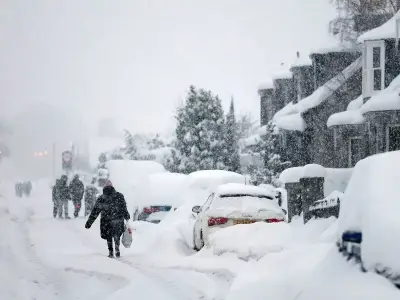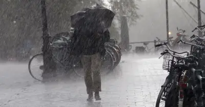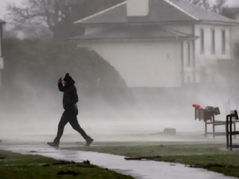
Forecasters are warning that Scots can expect a wild and wet start to the tattie holidays as bands of unsettled weather are expected to hit the country. With temperatures now dropping on the chillier side, Scots will want to have their umbrellas and warmer jackets at the ready.
While Scottish weather is known for being unpredictable, the Met Office predicts that the next week is likely to be widely unsettled. However, while there is expected to be strong winds and continual bands of rain, the national forecaster does note that there will be rays of sunshine trying to break through.
Gales and heavy rain from Monday
The changeable weather begins on Monday, October 12, as the Met Office predicts that a frontal system will bring thicker clouds and outbreaks of rain to the UK. This is expected to pick up on Monday evening, with forecasters warning of possible gale force winds hitting coastal areas.
Met Office deputy chief forecaster Mike Silverstone said: "A deepening area of low pressure to the northwest of the UK brings the prospect of gales along coasts and over high ground in northern and western parts of the UK for Monday night, which is partly driven by a strong and active jet stream."
While this weather will be wilder than Scots have experienced over the past few months, Silverstone states that the conditions are unlikely to result in severe weather warnings.
Tuesday and Wednesday bring more disruption
Moving on to Tuesday, October 13, the unsettled and windy weather continues with a large band of heavy rain moving across the UK. This is predicted to bring lively showers to Scotland, with overnight gales expected to continue throughout Tuesday in parts of Scotland.
Weather maps are currently predicting that some parts of Scotland could receive up to 32mm of rainfall per hour as the country is battered by wet and windy conditions in the early hours on Tuesday morning.
This miserable weather front is unfortunately expected to continue into Wednesday, October 14, with the Western Isles predicted to take the brunt of the strong winds.
Severe gales and heavy rainfall in the Highlands
According to meteorologist Craig Snell, the Western Isles could be potentially hit with "severe gales" on Wednesday. Weather maps are currently predicting gusts of up to 63mph by midday on the island of Benbecula, with Stornoway experiencing 61mph gusts.
Mainland Scotland is also expected to be hit with wild winds as Ullapool can expect gusts of wind up to 54mph by late afternoon, with the central belt sitting slightly lower at 44mph.
On top of the windy conditions, Snell warns that there could be over 100mm of rainfall in 48 hours in parts of the Highlands covering Wednesday and Thursday, October 15.
A large band of heavy rain is predicted to travel east across Scotland from 4pm on Wednesday. First hitting the Western Isle gales, this rain will travel across the country throughout the night, closely followed by scattered outbreaks of rain on Thursday.
Friday brings a brief reprieve
At the moment, Friday, October 16, looks to be giving Scots a reprieve from the miserable weather as the cloud clears and brings sunshine across the country.
However, it is important that Scots aren't fooled by the glorious sunshine as many parts of Scotland are predicted to only experience highs of 13C by late afternoon.