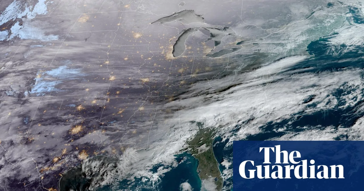
The already beleaguered Northeast region of the United States is now bracing for another punishing arctic blast, set to prolong what has already been recorded as one of the most severe winters in recent memory. According to the National Weather Service, powerful northwest winds will intensify behind a cold front arriving on Saturday and continue throughout the weekend, with gusts potentially reaching 60 miles per hour.
Widespread Weather Warnings Issued
High wind warnings remain active across extensive portions of the mid-Atlantic and Appalachian regions. The areas facing the highest risk include sections of Maryland, Pennsylvania, and Virginia, with specific warnings covering major urban centers such as Baltimore, Philadelphia, New York City, Roanoke, and Norfolk. Additionally, wind advisories extend further south into western North Carolina, including the city of Asheville.
Simultaneously, extreme cold warnings are in effect from New England down through eastern North Carolina. This alert encompasses the New York City tri-state area, Philadelphia, Baltimore, and Hartford. Forecasters have emphasized that conditions in these zones could deteriorate rapidly, posing significant dangers to public safety.
Dangerous Cold and Frostbite Risks
The impending cold is predicted to be severe enough to cause frostbite or hypothermia with prolonged exposure, especially as wind speeds increase. Temperatures are forecast to drop sharply over the weekend, with dozens of record-cold daily highs potentially being broken on Saturday and Sunday.
In the coldest parts of New England, daytime temperatures may struggle to reach single digits, while elsewhere across the Northeast, readings are expected to remain stuck in the teens and low 20s. This frigid air mass is driving wind chills far below zero, exacerbating a winter already characterized by record-setting cold spells.
Forecasted Wind Chill Extremes
Projected wind chills are set to plunge below zero across much of the Northeast and Great Lakes from Sunday into Monday. The most severe conditions will be concentrated in New England and upstate New York before a gradual warming trend begins by Tuesday.
By Sunday and Monday morning, low temperatures are anticipated to drop into the single digits, and even below zero, from Pennsylvania and New Jersey northward. Meanwhile, temperatures will range between 10 to 40 degrees across Delaware, Maryland, and Virginia.
Meteorologists indicate that Sunday and Monday could mark the coldest mornings of the winter so far from the New York City region into New England, including Boston. When combined with powerful winds, wind chills could plummet into the minus teens, minus 20s, and even minus 30s across parts of upstate New York, New England, and the Appalachians.
Specific City Forecasts
According to detailed forecast maps, Burlington, Vermont, will experience the most extreme conditions, with wind chills plunging to -18°F on Sunday and -16°F on Monday before improving to -5°F on Tuesday. Bangor, Maine, will drop to -6°F on Sunday and -9°F on Monday, rebounding to -1°F on Tuesday.
Boston is forecast to hit -13°F on Sunday and -5°F on Monday before jumping to 4°F on Tuesday. Buffalo will sink to -13°F on Sunday and -16°F on Monday before a significant rise to 12°F on Tuesday. The New York City area will see wind chills near -13°F on Sunday, around 0°F on Monday, and 15°F on Tuesday.
Further inland, Pittsburgh will dip to -5°F on Sunday and -2°F on Monday, while Detroit will experience 3°F and -1°F. Washington, D.C., will stay at 1°F on Sunday and 2°F on Monday before warming to 23°F on Tuesday.
Additional Snowfall and Travel Hazards
Snow will introduce another layer of danger to the region. Several inches of snow are expected across parts of New England through Saturday, with heavier totals focused around eastern Massachusetts, southern Maine, and sections of upstate New York, including areas near Boston, Portland, and Albany.
Snow squalls, paired with strong winds, could cause sudden whiteout conditions and create treacherous travel scenarios. Up to six inches of snow is possible in southeastern Massachusetts, including the Boston metropolitan area.
Context of a Brutal Winter Season
This latest arctic blast follows weeks of brutal winter weather that have already battered the Northeast. Earlier this season, major storms deposited double-digit snowfall totals across New York, New Jersey, and New England, triggering widespread power outages, shutting down transit systems, and sending temperatures plunging far below seasonal norms.
City officials across the region have repeatedly declared cold-weather emergencies as the prolonged freeze contributed to dangerous and, in some instances, deadly conditions. The historical Winter Storm Fern, which tore across a 2,000-mile swath of the United States in late January, resulted in states of emergency being declared in more than 20 states.
That storm led to the cancellation of nearly 10,000 flights, knocked out power to hundreds of thousands of homes, and saw temperatures plunge 10 to 40 degrees below average, with wind chills as low as minus 50 degrees battering parts of the country.
Limited Relief on the Horizon
A modest warm-up is forecasted for early next week, but relief will be limited in scope. Temperatures may finally creep above freezing along parts of the Interstate 95 corridor by Tuesday. However, forecasters caution that this rebound will be muted, especially when compared to the rest of the country, where much of the United States is predicted to see above-average temperatures over the next six to ten days.
The strongest warmth is expected to be centered across the Plains, Midwest, and South, while cooler-than-average conditions linger along parts of the West Coast. For the Northeast, the brief respite is unlikely to fully alleviate the cumulative impacts of this relentless winter season.