
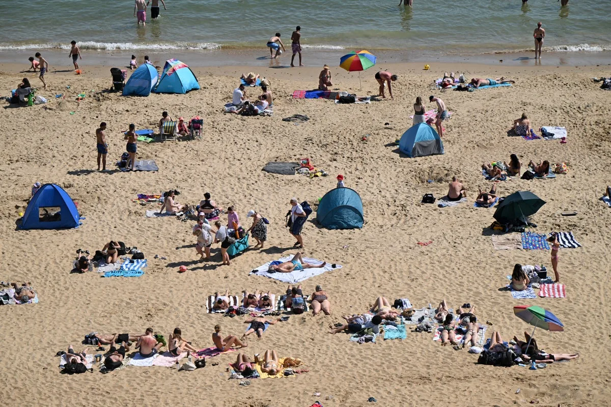
The Met Office has forecast another sizzling weekend for the UK following a “truly historic spell of May weather” that saw temperatures shatter records across the country. Kew Gardens reached 35.1°C on Monday, exceeding its previous station record of 29.3°C and the previous UK May record of 32.8°C.
In total, 163 stations broke their May maximum temperature records, with counties including Oxfordshire, Surrey, Bedfordshire and Cambridgeshire recording new highs well into the low and mid-30s. The Met Office noted that the event was particularly noteworthy due to the combination of very high daytime temperatures and persistently warm nights, which limited the usual overnight cooling.
Saturday will continue to deliver sunshine, with temperatures set to climb as high as 29°C across England and Wales. However, Northern Ireland and western Scotland will see a much wetter spell to begin the weekend, though temperatures will remain mild in the high teens, reaching 18-20°C.
Met Office meteorologist Aiden McGiven said Sunday will be notably different for England and Wales, with showers across Wales, northern and western England. The driest conditions will be towards the southeast, with temperatures reaching the low 20s. Scotland and Northern Ireland will be less wet than Saturday but changeable with a keen breeze, cloud and showery rain.
The more changeable pattern is likely to continue into next week, with further spells of rain and showers interrupted by brighter intervals, and temperatures closer to average. Meanwhile, organisations have urged swimmers to be cautious in open water following 11 deaths in recent days, warning of the dangers of cold water shock even during a heatwave.




