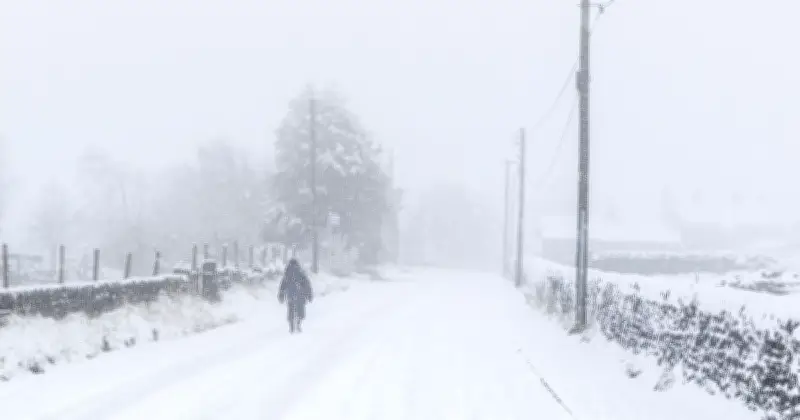
The Met Office has warned that Britain could face an increased risk of bitter cold and snow later this winter as a powerful El Niño threatens to weaken the polar vortex.
Forecasters have weighed in on the potential impact of this year's exceptionally powerful El Niño, which could increase the chances of cold snaps, heavy snow and stormy weather as winter progresses.
The weather phenomenon is feared to have the potential to destabilise the stratospheric polar vortex – a huge ring of cold winds high above the Arctic – potentially allowing freezing Arctic air to push further south towards Europe.
Forecasters stress autumn remains unlikely for cold snap
However, forecasters have stressed that a polar vortex-driven cold snap or widespread snow remains unlikely this autumn, with any increased risk of freezing conditions expected later in the winter.
A Met Office spokesperson said: "Through the latter part of the winter, following a peak in El Niño, the stratospheric Polar Vortex can become weaker, leading to an increased chance of Sudden Stratospheric Warming (SSW) events unfurling, increasing the potential for cold weather."
But the forecaster stressed it was "too far away to give any forecast information" about how this could affect the UK. It added that disruption to the polar vortex remained "just one possible outcome dependent on many competing factors".
Unprecedented El Niño already breaking records
This year's "super El Niño" has already broken global records, with Professor Adam Scaife, head of long-range predictions at the Met Office, describing the developing event as unprecedented.
He said: "We have been signalling for months that the developing El Niño will be an unprecedented event. The fact that it has already exceeded previous records – with several weeks to go before it peaks later this year – shows the enormity of this El Niño.
"Scientists are still assessing whether the impacts will be in proportion to its magnitude, but we are already seeing expected effects worldwide."
Potential impacts on UK weather
El Niño is a naturally occurring climate pattern which develops in the Pacific Ocean when sea surface temperatures become much warmer than average. The phenomenon can have far-reaching consequences for weather around the world, with its effects often peaking around December.
In Britain, El Niño can increase the likelihood of wetter and stormier conditions, potentially increasing the risk of flooding, while cold snaps could become a greater possibility as winter progresses.
The Met Office has also warned that El Niño can have significant human impacts, affecting areas including infrastructure, agriculture, health and the energy sector.
One potential consequence later in winter involves the polar vortex. When the vortex is strong, the coldest Arctic air tends to remain contained around the polar region. But if it weakens, the wider atmospheric pattern can be disrupted, increasing the potential for outbreaks of cold weather further south.
A weakening of the stratospheric polar vortex can also increase the chance of a Sudden Stratospheric Warming event. Such an event does not automatically mean Britain will experience snow or freezing temperatures, but it can increase the potential for colder conditions.
For now, the Met Office has stopped short of forecasting a widespread snow event or prolonged "deep freeze" for the UK. Instead, the possibility relates to what could happen during the latter part of winter after El Niño reaches its peak.
Forecasters say it remains too early to determine exactly how the exceptionally strong El Niño will affect Britain's weather, with numerous competing factors ultimately determining whether the country experiences a significant cold spell.