The Met Office has issued a UK snow update for this winter, with freezing temperatures forecast from December. The national forecaster has warned of a "melting pot" of influences on the UK's weather in the coming months, driven by a sudden stratospheric warming (SSW) over the Arctic and a record-breaking El Niño weather phenomenon taking place in the Pacific Ocean.
El Niño has been a key driver of hot weather this year, with the warming of the sea's surface having a dramatic knock-on effect on global weather systems, resulting in warmer than average temperatures. Strong El Niños can lead to a milder and wetter late autumn and early winter, before giving way to a much colder bout of weather in late winter.
Polar vortex disruption
El Niño can also interact with the polar vortex, a large circulation of very cold winds around 30km above the Earth's surface which circulates over the North Pole. As it is linked to the jet stream, it is vulnerable to changes in high and low pressure patterns and when disrupted, it can bring colder, drier air to the UK.
The polar vortex is being "monitored closely" by the Met Office after an "unusually strong sequence of planetary waves" squeezed and weakened it towards the end of October and again in November, which appears to have displaced it away from the North Pole. This disruption is expected to influence the UK weather in the coming weeks, with the winter season looking increasingly likely to be much colder than usual.
Negative North Atlantic Oscillation
Met Office Scientific Lead Jeff Knight, who contributes to seasonal forecasts, said: "We have an historic El Niño that is very likely to influence the outlook for the winter.
"In recent model output, we are seeing elevated chances of weather patterns similar to those linked to El Niño events in past winters. This pattern is called the negative phase of the North Atlantic Oscillation (NAO).
"A negative NAO corresponds to higher-than-usual pressure across a broad portion of the North Atlantic north of the UK and lower-than-usual pressure further south.
"In UK latitudes in winter, a negative NAO results in the reduction of the mild, damp westerly winds that we usually receive. Consequently, a negative NAO winter is more likely to be colder and drier than usual."
The Met Office said while positive NAO values "aren't ruled out" over the winter months from December to February, current modelling shows more of the likelihood is clustered around strongly negative values, meaning the prospect of freezing weather is more likely on the cards.
Jeff added: "Whilst negative NAO is by no means a certainty, its increased likelihood indicates that the models as they currently stand are likely to favour colder- and drier-than-average conditions this winter."
Snow prospects remain uncertain
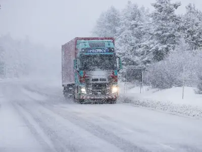
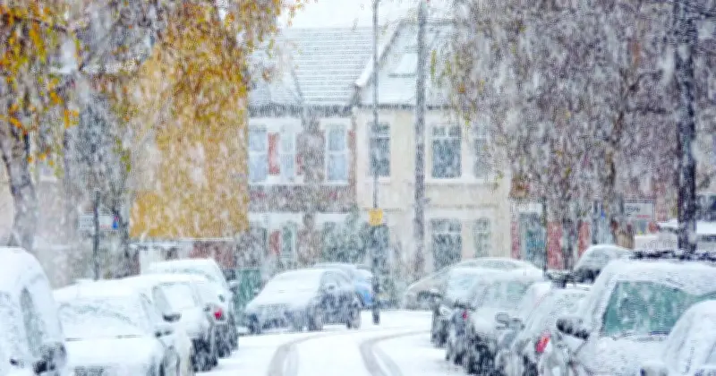
But does a colder than average winter mean more snow for the UK? Well, this is much harder to predict and bitter conditions doesn't necessarily mean we'll see more of the white stuff over the next few months.
As snow can only be forecast at shorter ranges, it's still unclear whether we're in for more flurries than normal this winter, but it's looking increasingly likely temperatures are going to plummet from December.
The Met Office added: "While the SSW could influence UK weather in the coming weeks, this is only a shift in chances rather than a guaranteed cold spell. In any case, cold weather also doesn't mean snow is inevitable, as a number of factors need to align for snow.
"For now, the polar vortex is beginning to recover, with its westerly winds strengthening again. Some longer-range model members suggest those winds could weaken again later in December, potentially raising the possibility of further disruption, but this remains a significant uncertainty.
"As we move towards December, we'll continue to monitor how the atmosphere responds to this unusually early event and what that could mean for the start of meteorological winter."