
The Met Office has issued a verdict on when the UK's hot temperatures are set to come to an end in the coming days. It comes as the Met Office revealed that some places in England have met their heatwave threshold for 18 days in an 'exceptional' spell of warm weather.
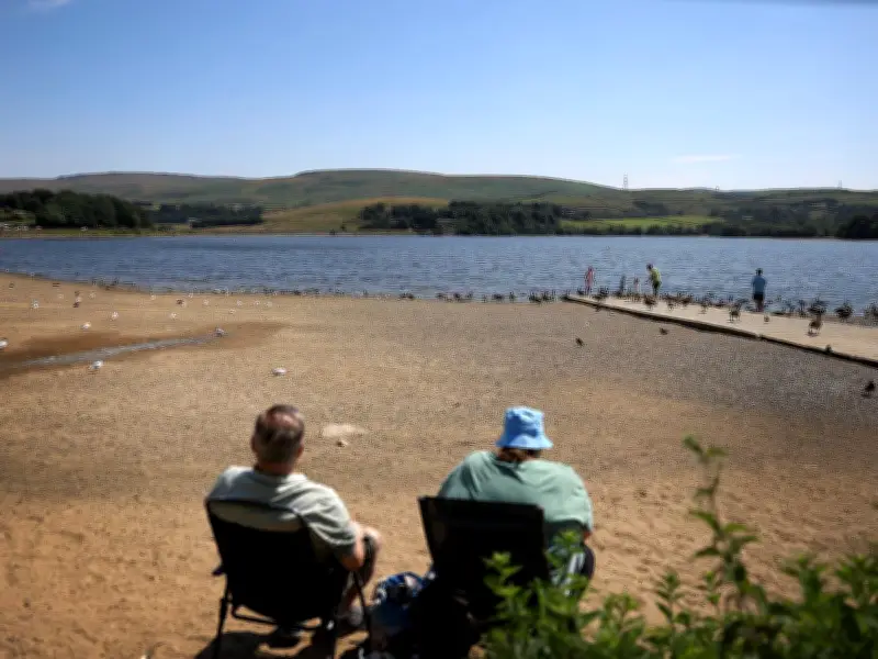
Due to the hot and dry conditions, around 23 million people across England are now under or facing water restrictions after three heatwaves in 2026 so far and the driest spring on record for England and Wales. This is causing pressure on water resources to intensify rapidly, with the hot weather pushing up demand as people consume more to stay cool, water gardens, sustain crops and protect infrastructure.
Drought status and reservoir levels
The Environment Agency said “prolonged dry weather” has been declared in East Anglia, the West Midlands, Devon, Cornwall, Lincolnshire and Northamptonshire, Hertfordshire and London, Wessex, Thames, Solent and the South Downs. This means these eight areas are one stage away from official drought status. Six reservoirs are also classed as having “notably low” levels, the regulator said, including Wimbleball in Somerset, Grafham in Cambridgeshire and Hanningfield in Essex.
When will the heatwave end?
The Met Office has now advised when this period of high pressure is likely to come to an end. While high pressure is forecast to stick nearby, it is expected to move southwards, allowing for a weather system to move in, which could bring some more changeable conditions. Temperatures are still in the mid to high 20s across parts of central and southern England on Thursday, with the potential for light showers in places, the Met Office says.
Friday will be cloudier, with temperatures still in the high 20s in London and other parts of the south east, but low 20s or even high teens for most. A patch of rain is set to move over Scotland on Saturday, but the Met Office says it is expected to skip over large parts of the UK.
After similar conditions on Sunday, the beginning of a new week is expected to generally mark the end of the heatwave for the whole of England. Met Office meteorologist Alex Burkill said: "Monday doesn't look especially warm. We've had cooler air coming in with that front that goes through Saturday. We'll see a drop in temperatures quite widely, so it will probably be the end of the heatwave, wherever you are."
Chance of rain and forecast
On the chance of rain, Steve Willington, Met Office chief forecaster, said: “The high pressure has been a key feature of the UK’s weather forecast over the last few weeks, bringing above-average temperatures and extremely dry conditions for many. However, we will begin to see a modest change as a weak weather front pushes south across the UK on Saturday bringing some much-needed rain, albeit it light and mainly concentrated in the north and west. Behind the front a showery air mass will bring potentially heavy showers some of which may be thundery.”
Met Office chief forecaster Greg Wolverson added: “Fresher conditions will prevail from Sunday onwards, but temperatures will remain around average for the time of year.” He explained: "Although there is a return to rain in the forecast, we have just come out of an exceptionally dry spell and the forecast rain is unlikely to be widespread or substantial. Many areas are likely to continue experiencing prevailing dry conditions for the foreseeable future, especially in southern England."




