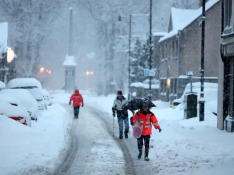
New Met Office weather maps show seven areas of the UK could wake up to snow on Sunday. The national weather service is forecasting "unsettled conditions" on Sunday and Monday, warning that "rain and hill snow" are possible.
Snow Expected Across Scottish Highlands
The Met Office's precipitation maps, which forecast the intensity and location of rain, snow and hail, suggest particularly wintry conditions will hit parts of Scotland on Saturday evening and early on Sunday. Maps for 6am and 9am indicate snow across large parts of the Scottish Highlands and surrounding areas.
Snow looks most widespread during the morning, although some areas could continue to see it into the early afternoon. Later in the day, a band of rain is expected to move south across Scotland and into northern England.
Weekend Forecast: Cold and Frosty
Friday is forecast to be cloudy and rainy across northern parts of the UK, particularly Scotland. Brighter, sunnier spells are expected elsewhere, especially across England and Wales. Saturday is expected to be cold and frosty for many, with sunny spells, although cloudier conditions are forecast in the north and west.
The Met Office said in a blog post on Wednesday: "After a foggy start to November, the UK’s weather is beginning to change. The widespread low cloud, mist and dense fog of recent days will gradually give way to clearer skies, colder Arctic air and an increasing risk of frost and ice."
Polar Vortex Not the Cause
The forecaster explained that the colder conditions are being driven by developments in the troposphere, the lowest layer of the atmosphere, where most of the UK's weather takes place. In particular, a change in the position of high pressure is influencing wind direction and allowing colder air from the Arctic to move towards the UK.
This is different from the polar vortex, which is a large circulation of winds around 30 kilometres above the Earth's surface in the stratosphere. Changes at this altitude do not automatically produce an immediate change in weather conditions at ground level. While the Met Office noted that there has recently been some stratospheric warming and a weakening of the winds surrounding the vortex, it said forecasts suggest the disruption could be short-lived, with the vortex returning closer to its average state as December approaches.
Counties That Could See Snow on Sunday Morning
- Highland
- Moray
- Aberdeenshire
- Perth and Kinross
- Argyll and Bute
- Na h-Eileanan Siar (Western Isles)
- Angus