
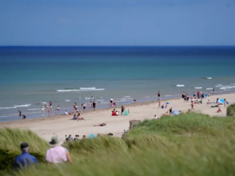
The Met Office has identified a potential heatwave window from August 10 to 24, indicating the UK could see a fourth scorching spell this summer. This summer has already experienced three heatwaves in May, June, and July, with temperatures reaching 37°C in Norfolk in late July, just shy of the record 40.3°C recorded in Coningsby, Lincolnshire, in July 2022.
The prolonged heat has left the nation dry, with drought conditions officially declared in Wales last week. Many areas are experiencing 'prolonged dry weather', the classification that precedes drought, according to authorities.
Forecast for mid-August
The Met Office's extended forecast for August 10-24 states: "Dry and settled conditions will probably dominate much of this period with high pressure patterns tending to affect the UK. This may be interrupted at times by Atlantic frontal systems, especially in the north, or thunderstorms in the south." It adds that rainfall will likely be below normal, while temperatures will probably be above normal, with some spells of hot weather and heatwaves possible, especially in the south.
However, the prospect of a heatwave seems distant after a wet weekend on July 26. Rainfall is expected to continue across northern England, while southern regions remain dry with typical seasonal temperatures.
Near-term outlook
The Met Office's medium-range forecast for July 31 to August 9 predicts 'very warm' conditions in the southeast, with temperatures ranging from average in the northwest to warm in the southeast, possibly becoming very warm through the weekend. It then becomes more changeable, with potential low pressure bringing heavy rain and strong winds early in August, before settling again toward the end of the first week.
On Monday, July 27, peak temperatures are forecast to reach 25°C in London, 19°C in Edinburgh, 21°C in Cardiff and Belfast, and 19°C with rain in Manchester.




