
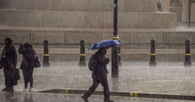
The Met Office has identified 29 areas across the UK that will be affected by heavy rain on Monday, with downpours expected in parts of Scotland, Northern Ireland and England. An area of low pressure will extend from the southwest, bringing potentially heavy rain to the north and showers to the south.
The unsettled conditions will also allow warmer and more humid air to return across England and Wales, with temperatures likely to exceed 30C again in some places.
Forecast for Monday to Wednesday
The Met Office's outlook for the start of the week states: "Rain affecting northern areas Monday and Tuesday, while southern areas will turn increasing hot and humid with a chance of some showers. Showers or longer spells of rain on Wednesday."
Change in weather type
Met Office Chief Forecaster Chris Bulmer said: "A change in weather type early next week will see warmer conditions return across England and Wales but in contrast to much of the summer, this will be associated with showers or perhaps thunderstorms for some places."
"However, some parts of the south will only see small amounts of rain. It will stay cooler in the north with the potential for heavy rain to build up, especially over parts of Scotland."
Drought status
The rain maps come days after the Environment Agency declared drought across more than half of England. The announcement covers much of central, eastern and southern England and signals that further restrictions on water use may follow.
Full list of 29 affected areas
The complete list of areas expected to see heavy rain:
Scotland
- Highland
- Argyll & Bute
- Moray
- Aberdeenshire
- Perth and Kinross
- Stirling
- Dundee
- Fife
- Angus
- Glasgow
- Inverness
- Edinburgh
England
- Northumberland
- Cumbria
- Durham
- North Yorkshire
- Greater Manchester
- Lancashire
- Derbyshire
- Leicester
- Gloucester
- Somerset
- Devon
Northern Ireland
- County Antrim
- County Armagh
- County Down
- County Fermanagh
- County Londonderry
- County Tyrone




