
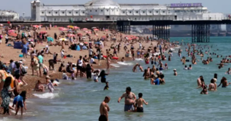
The Met Office has forecast a short spell of hot weather for the UK, starting Tuesday July 28, with 16 areas in the southeast expected to reach 29-30C. Temperatures could climb to 35C on Wednesday, potentially meeting official heatwave criteria by Thursday in some parts.
Tuesday's hottest areas
On Tuesday, much of England, Wales, and eastern Scotland will enjoy a dry, sunny day. The hottest areas are concentrated in the southeast:
- London
- Berkshire
- Buckinghamshire
- East Sussex
- Hampshire
- Kent
- Oxfordshire
- Surrey
- West Sussex
- Isle of Wight
- Bedfordshire
- Cambridgeshire
- Essex
- Hertfordshire
- Norfolk
- Suffolk
Temperature outlook and warning
Deputy Chief Forecaster Gregory Wolverson said: "This is a short-lived spell of heat, but temperatures will climb quickly through the first half of the week, particularly in the southeast. By Wednesday, some areas could see temperatures in the mid-30Cs, and while the heat will not be widespread across the whole of the UK, it will be enough for parts of the southeast to likely meet official heatwave criteria by Thursday."
He added: "Elsewhere, the weather will be more changeable, and the change to cooler, more unsettled conditions will arrive sooner from the north and west, with a mix of sunshine and showers. Across northern areas, it is possible there will be heavier showers with a small risk of isolated thunderstorms through the week."




