
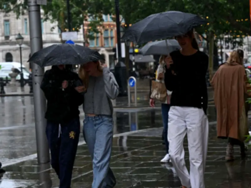
The Met Office has issued a new weather update for the coming week, with rain and thunderstorms possible in parts of the UK. The forecast follows four heatwaves in 2026 and widespread drought conditions across England and Wales from July into August.
Low pressure to bring rain from Monday
Low pressure will extend across the nation from Monday, potentially bringing heavy rain to northern areas and lighter showers to the south. Some places could also see thunderstorms.
Despite the wetter outlook, the start of August is still expected to be warm and humid in parts of England and Wales. The Met Office has suggested temperatures could rise above 30C again.
Met Office Chief Forecaster Chris Bulmer said: "A change in weather type early next week will see warmer conditions return across England and Wales but in contrast to much of the summer, this will be associated with showers or perhaps thunderstorms for some places. However, some parts of the south will only see small amounts of rain. It will stay cooler in the north with the potential for heavy rain to build up, especially over parts of Scotland."
Drought declared across half of England and all of Wales
Some parts of England recorded less than 1mm of rainfall during the whole of July. This week, half of England was declared to be in drought, along with the whole of Wales.
The seven areas in England declared to be in drought were:
- Thames Valley
- East Anglia
- Hampshire & the Isle of Wight
- Devon & Cornwall
- Hertfordshire
- London
- The West Midlands
- Wessex
There have now been three droughts in the UK in the past five years, in 2022, 2025 and 2026.
Helen Wakeham, Director of Water at the Environment Agency and Chair of the National Drought Group, said: "The hot and dry weather means we are currently using water faster than nature can replenish it. A second consecutive summer drought is an exceptionally serious situation and one that will have long-lasting impacts on our environment, wildlife, and the economy."




