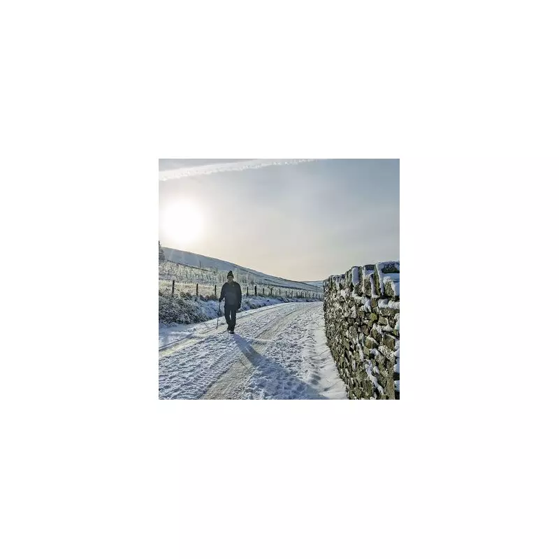
Met Office Issues 25-Day Snow Warning for Three UK Regions
The Met Office has released a detailed long-range weather forecast, indicating that significant snowfall and wintry conditions are expected to impact three specific parts of Britain over the coming weeks. According to the forecast, which spans from January 25 to February 18, residents in these areas should prepare for potential disruptions and hazardous weather as cold fronts sweep across the country.
Forecast Details and Regional Impacts
The forecast divides the period into two key phases, each highlighting different regions at risk. From January 25 to February 3, the Met Office predicts that snow is most likely to occur across hills in Scotland and northern England. This initial phase will see weather systems moving in from the Atlantic, attempting to push eastward but stalling near the UK due to high pressure to the north and northeast. As a result, spells of rain or showers are expected, which may turn heavy and persistent, particularly in southern and western areas.
During this time, milder conditions may briefly encroach into the south and southwest, but overall, temperatures are anticipated to drop, increasing the risk of snowfall. The Met Office notes that while snow is initially focused on elevated areas in Scotland and northern England, it could extend to other regions as the cold spell progresses.
Extended Outlook and Wintry Hazards
Looking further ahead, from February 4 to February 18, the forecast suggests a continuation of similar weather patterns. Atlantic frontal systems will continue to attempt eastward movements, with the jet stream positioned slightly further south than usual. This setup is likely to bring the wettest conditions to central and southern parts of the UK, while northern and northwestern areas may experience drier than normal weather.
However, the Met Office warns that colder conditions in the north and northeast could lead to wintry hazards, especially where precipitation attempts to spread in. This includes the potential for snow on hills and in other susceptible areas, posing risks such as icy roads and reduced visibility. The forecast emphasises that mild, wet, and windy incursions may occur in the south and west, but the persistent cold in northern regions will maintain the threat of snowy weather.
Additional Weather Insights and Predictions
Supporting the Met Office's warnings, BBC Weather forecasters have also indicated that snow could arrive soon. Their forecast for the upcoming week states that frontal systems will occasionally try to push north-eastwards, bringing chances of rain bands preceded by snow. The high pressure to the north and north-east is expected to resist these systems, leading to drier spells of a couple of days interspersed with wintry showers.
This aligns with the broader prediction of intermittent but impactful snow events across the specified regions. Residents are advised to stay updated with local weather alerts and prepare for potential travel disruptions and cold-related hazards as the winter season intensifies.


