
Major Winter Storm Sweeps US West with Heavy Snow and High Winds
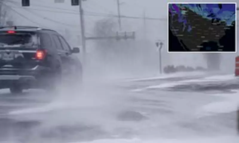
A sprawling and intense blast of winter weather is currently sweeping across the western United States, unleashing significant snowfall, dangerous winds, and treacherous travel conditions. Multiple states, including Washington, Oregon, Montana, and Wyoming, are under various winter weather advisories and watches, with the severe conditions expected to persist until at least Friday.
Widespread Advisories and Snowfall Predictions
Regions across the affected states are bracing for substantial snowfall accumulations, with forecasts predicting between two to four feet of snow in some mountainous areas. Accompanying this heavy snow are powerful winds, which could gust up to 55 miles per hour throughout the week. The National Weather Service has issued warnings that these conditions could create whiteout scenarios, particularly in higher elevations, making travel extremely hazardous.
Officials are strongly urging motorists to delay any non-essential travel. The combination of heavy snowfall rates and low visibility threatens to render driving conditions difficult to impossible, according to weather authorities. Snow-covered and slick highways are expected to cause significant disruptions, including potential road closures and delays, across the western region for several days.

Focus on the Cascade Mountains
The most intense impacts are anticipated across the Cascade Mountain range. A winter weather advisory is currently in effect for the upper slopes of the eastern Cascades crest, encompassing areas near Easton and Roslyn in Washington. Forecasters predict eight to fourteen inches of snow through Tuesday, coupled with wind gusts reaching 40 mph.
Conditions are forecast to escalate dramatically later in the week. The National Weather Service has issued a winter storm watch from late Tuesday night through Friday morning, warning that an additional two to four feet of snow could accumulate in the mountains. Winds may also intensify, with gusts potentially hitting 55 mph, significantly reducing visibility and creating perilous travel situations.
Significant snowfall with periods of heavy snowfall rates will combine with low visibility to create difficult driving conditions, the National Weather Service cautioned. In the south Washington Cascades, including zones near Mount St. Helens, six to ten inches of snow is expected through Tuesday, along with 35 mph wind gusts.
Oregon, Montana, and Wyoming Impacts
Across the border in Oregon, the north Oregon Cascades—including Government Camp and areas near Lost Lake and Timothy Lake—are forecast to receive four to ten inches of snow between Monday morning and Tuesday evening. Winds in this region could gust up to 40 mph, likely making mountain roads slick and hazardous.
Officials have highlighted that bridges and overpasses are especially vulnerable to rapid freezing, which can create dangerously icy surfaces for drivers.
Meanwhile, parts of Montana and Wyoming are also under winter weather advisories as the snow spreads across the northern Rockies. In southern Big Horn County, Montana, and the Sheridan foothills of Wyoming, forecasters expect one to three inches of snow, with up to five inches possible in higher terrain through Wednesday morning.
The nearby Bighorn Mountains could receive four to eight inches of snow, while winds may gust up to 30 mph, potentially creating difficult travel conditions along US Highway 14. Weather officials note that even relatively modest snowfall can create dangerous driving conditions, especially as temperatures drop and roads quickly become icy.
Safety Recommendations and Forecast
Drivers traveling through affected areas are being urged to slow down and exercise extreme caution. Those planning to cross mountain passes are advised to carry comprehensive emergency winter kits. These kits should include essentials such as blankets, water, food, flashlights, and tire chains to ensure safety in case of stranding or delays.

Forecasters indicate that the storm system is expected to intensify later this week in the Pacific Northwest. This raises the possibility of several additional feet of snow in the Cascades and the continuation of dangerous travel conditions across the entire region. Residents and travelers are advised to stay updated with the latest weather alerts and heed all official warnings.


