
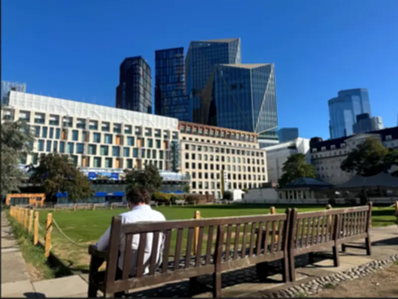
Londoners will enjoy a burst of sunshine this week before entering a spell of wet and windy winter. The Met Office is predicting highs of 26C on Tuesday as sunlight glimmers across the capital from around 9am. Although it will be cloudy for most of the day, the warmth promises to be a pleasant departure from usual autumn temperatures.
Temperature forecast for Tuesday and Wednesday
Forecasters are predicting that the mercury will rise steadily to 25C by 2pm, with intermittent sunshine throughout the afternoon. Temperatures will lower slightly to around 24C by 6pm and trail off during the night.
Another warm autumn day is expected on Wednesday. Although the day will get off to a drizzly start with light rain from 5am to 9am, skies should later clear up with highs of 25C and sunny intervals from 1pm.
Rest of the week and beyond
Meanwhile, the rest of the week will see temperatures closer to 21C as the capital gets its final dose of September sunshine. The Met Office’s 14-day outlook predicts plenty of dry weather next week, though temperatures are expected to drop, but will still be above average for this time of the year.
It follows the UK’s hottest summer on record which saw temperatures exceed 38C in some parts of London. Forecasters have said low pressure in the Atlantic has helped to bring the warmer weather to the UK, but anticipate that conditions will turn “increasingly wet and windy” across the UK after next week.
Winter outlook
Met Office Chief Forecaster Matthew Lehnert said: “A deep area of low pressure far into the Atlantic is the primary driver behind the UK’s weather over the next few days. Its first influence will help pull some warmer air over much of the country on Tuesday, with a peak of 27C likely – which is notably warm for the time of year.
“A warm night will follow across southern and eastern areas, with minimum temperatures of 19C in places.”
The Met Office has also warned that this winter could see an increased likelihood in spells of rain and strong winds in comparison to average as the strongest El Niño event in 1,000 years develops over the Pacific Ocean. A potential polar vortex in the North Pole also risks wreaking havoc on weather in the UK and could influence weather patterns. A stronger than normal polar vortex could bring a wetter and windier winter, according to forecasters.




