
Fresh weather warnings have been issued across the United Kingdom as heavy rain continues to cause significant disruption to roads and rail networks, with alerts expected to remain in place until Sunday. The persistent downpours have led to widespread flooding, prompting authorities to urge caution and monitor travel updates closely.
Met Office Issues Multiple Yellow Alerts
The Met Office has activated a yellow rain warning for Perthshire, the Stirling area, and parts of north-east Scotland, which will remain in force until midnight. Additionally, a further warning has been extended into Sunday for specific regions within this area. Forecasters have highlighted the potential for rainfall accumulations of 30-60mm inland, with higher elevations possibly receiving up to 80-120mm.
Impact on Road and Rail Travel
Perth and Kinross Council reported numerous road closures due to flooding as of early Friday morning. Key affected routes include the A94 between the A93 Meikleour crossroads and A923 Bendochy crossroads, as well as the Queen’s Bridge in Perth. On the railways, ScotRail has implemented speed restrictions on several major lines, such as the Inverness to Edinburgh/Glasgow/Aberdeen, Glasgow to Dumfries, Stranraer to Ayr/Kilmarnock, and Glasgow to Mallaig/Oban routes.

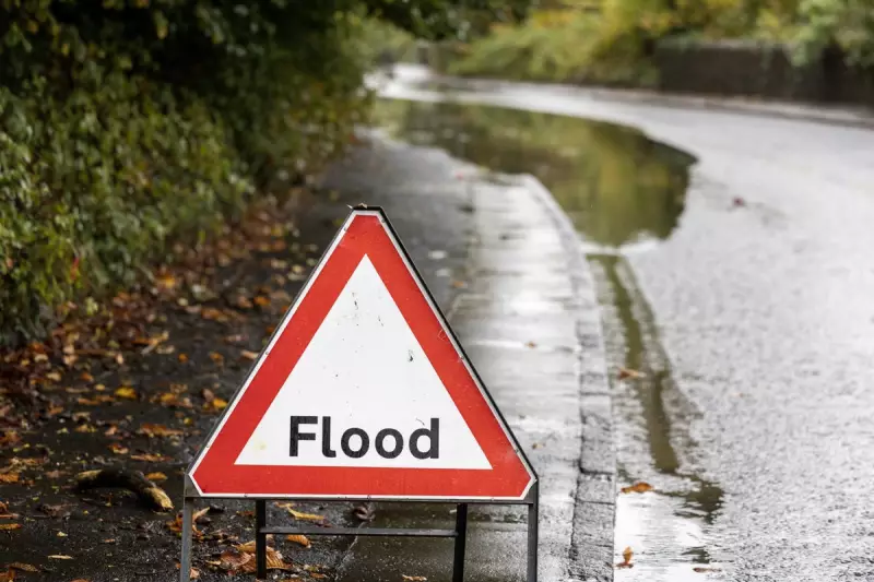
The Scottish Environment Protection Agency has escalated the situation by issuing 22 flood warnings and seven flood alerts across the region. The Met Office warning covers areas including Angus, Dundee, northern Fife, Aberdeen, Aberdeenshire, parts of the Highlands, Moray, Perth and Kinross, and Stirling on Friday. It cautions that there is a "small chance of fast-flowing or deep floodwater causing danger to life."
Extended Warnings and Further Disruption Forecast
A separate yellow warning for rain in Angus, Perth and Kinross, Aberdeen, and Aberdeenshire will be effective from midnight on Friday until 9am on Sunday. Forecasters predict that eastern Scotland, already impacted by recent heavy rainfall, will experience additional flooding and travel disruptions. Many areas are anticipated to receive a further 20-30mm of rain, with some locations potentially seeing up to 50mm. Above elevations of 400-500 metres, much of this precipitation is expected to fall as snow.
Storm Ingrid Affects South-West England and Wales
South of the border, a yellow warning for rain and wind has been issued for south-west England and southern Wales, remaining in place until 9am on Saturday. Forecasters attribute this to Storm Ingrid, which is bringing spells of heavy rain and strong winds to these regions. Gusts of 45-50mph are expected inland, potentially reaching up to 60mph near coastal areas, with peak winds occurring during Friday evening before gradually easing overnight and into Saturday morning.
Recent Incidents and Emergency Responses
The heavy rain has already caused significant travel disruption in Scotland on Thursday, with many roads affected by flooding. In Aberdeenshire, emergency services had to rescue three individuals from stranded vehicles. Firefighters assisted two people from a minibus on the B977 near Kintore at approximately 8.30am on Thursday, while another person was brought to safety from a car in a separate incident near Banchory around the same time.
The Scottish Government Resilience Room convened on Thursday to assess the weather situation. Justice Secretary Angela Constance, who chaired the meeting, emphasised the importance of public vigilance: "I would urge people to pay attention to flood alerts, weather forecasts, and to consider travel updates in their area."
Forecasters have noted that the saturated ground conditions, following recent rain and snow thaw, increase the likelihood of flooding in various locations. Coastal areas, while experiencing smaller rainfall totals, face additional hazards from strong onshore winds and large waves. The combination of these factors underscores the need for continued caution and preparedness as the weather warnings persist through the weekend.


