
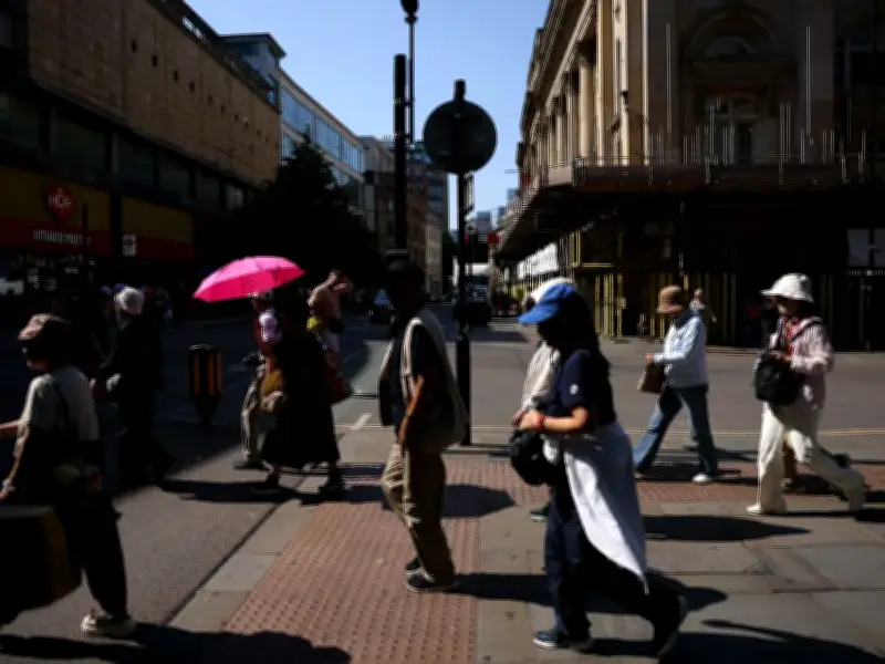
Greater Manchester will see soaring temperatures for the next couple of days thanks to an unprecedented fifth heatwave in the UK. Temperatures are expected to peak at 32C, with health alerts already issued as some parts of the UK prepare for 36C weather.
Hottest boroughs and peak temperatures
Trafford is expected to be the hottest borough during the heatwave with it being the only area predicted to reach 32C. Stockport, Manchester, Tameside, Wigan, Bury and Salford are forecast highs of 31C. While Oldham, Bolton and Rochdale are expected to reach 30C.
Today (August 11), is the mildest of the three-day scorch fest with conditions described as "dry with plenty of strong sunshine," by the Met Office. The genesis of the heat, temperatures are expected to peak at 29C with very little breeze and blue skies until sunset.
Wednesday and Thursday forecasts
Wednesday (August 12) will be much of the same with the intensity turned up. According to the Met, temperatures will 'rapidly during the morning' an average temperature of 29C will climb to 32C at its highest at around 4pm. Nightfall will bring about a cooler atmosphere, but only just with 26C the current forecast for Wednesday evening.
Thursday (August 13) is expected to be the final day of the mini heatwave. The Met Office predicts it to be 'very warm or hot on Thursday with plenty of strong sunshine.' Much like Wednesday, the day will feel like 31C, with readings expected to show 32C as the peak. However, come 4pm, the chances of rain increase, and clouds start to form.
Cooler end to the week
Friday (August 14) has been described as a 'little fresher and cloudier'. There will be a strong likelihood that some parts of the region could see rain on Friday morning with Met figures showing a 20 per cent chance of rain from 9am. The boiling heat will all but be gone by Friday too. The hottest it is expected to get at the end of the week is a manageable 23C, with the evening seeing temperatures drop as low as 17C.
From Saturday (August 14) onwards, residents should expect sunny intervals. The clouds are expected to dominate the sky, with the chance of precipitation reaching their peak at 30% between 7am and 8am. The cool temperature continues with 22C forecasted as the highest recording on Saturday. There'll be hardly any patch of blue on Sunday (August 15). According to the Met Office, the whole day is expected to be cloudy with light showers expected around 4pm.
Monday (August 16) is expected to be a miserable affair, with drizzle falling from as early as 1am until 7am. There will be a steady 40 per cent chance of rain throughout the day with temperatures peaking at a lowly 20C.




