
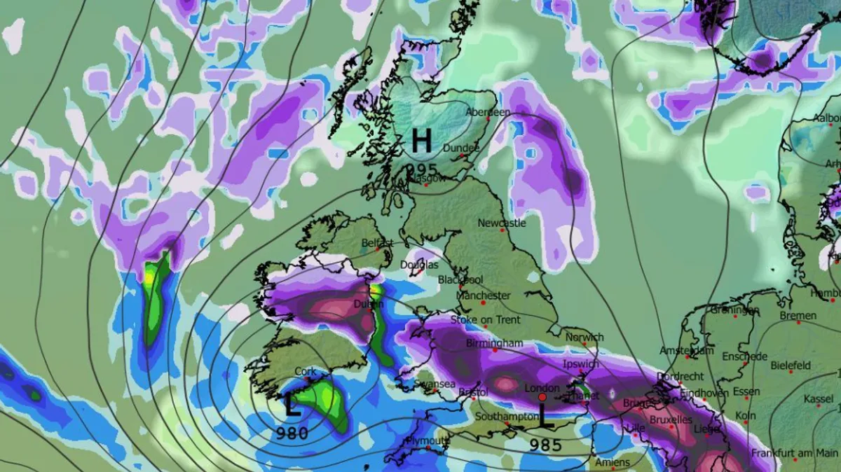
As many as 51 cities across England are set to be hit by two snow blizzards, with the first expected to arrive on the evening of February 16. According to GFS weather model data, heavy snow will initially strike South Wales and parts of western England, including Gloucestershire, Worcestershire, Warwickshire, Oxfordshire and Buckinghamshire, around 9pm.
By 3am on February 17, a band of snow is forecast to stretch from Wales to East Anglia and the south-east, affecting major cities such as London and Birmingham. A second snow front is then predicted to move across the UK on the evening of February 17, bringing snow from the far north of Scotland down to the south coast of England, before drifting eastward.
Snow coverage charts for the morning of February 18 indicate that almost every inch of the UK could be covered in settled snow, with 51 English cities potentially impacted. The Met Office has stated that snow is “likely” in places later this month, with its forecast for February 10 to 19 noting that cyclonic patterns will dominate, bringing further fronts that may become slow-moving.
The Met Office added that some southern and western areas are most prone to wet conditions, maintaining sensitivity to flooding, while parts of northeast Britain may also be wetter than normal. “Some snow is likely, especially in any colder airmasses that filter south or east into the UK and/or on the interface between mild and cold air,” the forecast said, also warning of possible strong winds.




