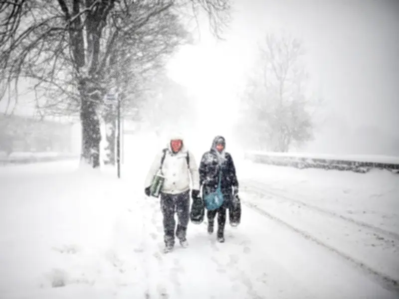
Britain is preparing to freeze for at least three months, according to forecasters who have said El Nino will hit hard and soon. The weather phenomenon is strengthening rapidly, with the worst expected in December.
El Nino's Expected Impact on UK Winter
The World Meteorological Organization (WMO) said there are many potential implications for the UK's winter weather with the arrival of El Nino. El Nino, a natural climate event that occurs every two to seven years in the central and eastern equatorial Pacific Ocean, has a significant impact on global weather patterns.
The group has been monitoring sea temperatures and says an El Nino is officially declared when sea-surface temperatures in this specific region of the tropical Pacific consistently exceed the norm by at least 0.5C, which has been the case.
Record Sea Temperatures Predicted
The WMO stated in its most recent update that sea-surface temperatures in the central and eastern tropical Pacific are predicted to reach "record levels" in October, November and December, "reflecting the strengthening of the El Nino event". In its October 8 update, the WMO said there was a near-100% likelihood that El Nino would persist through February 2027, potentially becoming one of the strongest events since at least 1950.
A spokesman said: "El Nino will continue to intensify ahead of its forecast peak in December. It is likely to bring above-average temperatures to much of the globe and shift rainfall patterns, increasing the risk of drought and floods in different regions."
Cold Spells and Polar Vortex
The weather will lead to wetter and stormier conditions across north-west Europe, including the UK, during autumn and early winter, and may also heighten the risk of cold spells later in the winter, which is now expected in the UK.
WMO Secretary-General Celeste Saulo added: "El Nino is firmly established and strengthening rapidly. WMO forecasts indicate a near-100 per cent likelihood that it will persist through February 2027, potentially being one of the strongest since at least 1950.
"El Nino doesn't add new heat to the planet. It releases heat the ocean has already been storing beneath the surface - which is why a strong event so often becomes one of the hottest years measured (as with 2024). The ocean it's drawing from is the warmest we've ever measured it. There is simply more heat available to release."
For the months of October, November and December, the average sea-surface temperature anomaly is predicted to hit around +3.7C, peaking in December. This would set a new record, beating the previous high of +2.6C, which was recorded between November 2015 and January 2016.
After reaching its peak, El Nino "tends to promote the breakdown of the polar vortex, especially in late winter", according to the US government's NOAA Chemical Sciences Laboratory. The Met Office explains that the weakening of the polar vortex - a band of strong westerly winds encircling a pool of cold air high in the stratosphere - "may raise the chance of Sudden Stratospheric Warming events, which can increase the potential for cold weather".