Severe Tropical Cyclone Maila Approaches Queensland Coastline with Damaging Winds and Flooding Risk
Millions of residents across Queensland have been placed on high alert as a severe tropical cyclone approaches the coastline, posing a significant threat of damaging winds, intense rainfall, and potential flooding. The Bureau of Meteorology confirmed on Monday morning that Severe Tropical Cyclone Maila is expected to move towards the Far North Queensland coast later this week after strengthening over the Solomon Sea.
Cyclone Maila's Path and Intensity Details
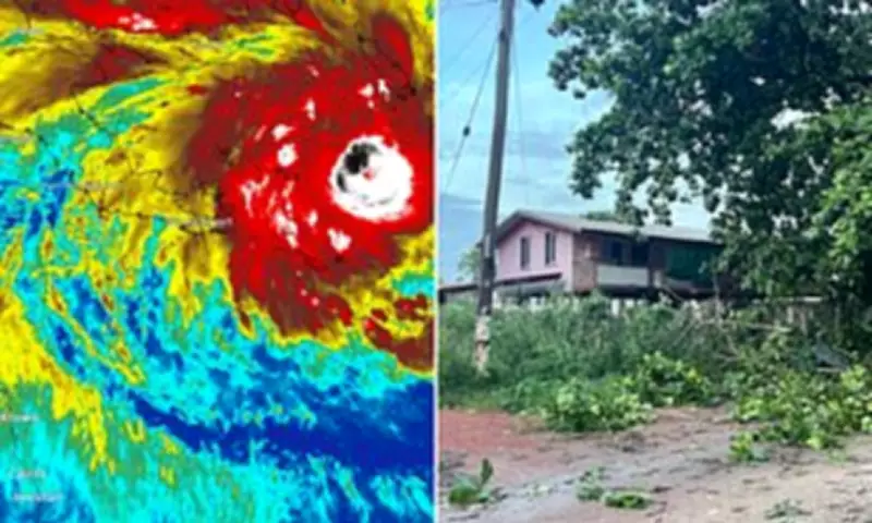
According to the Bureau of Meteorology, Cyclone Maila is currently a category three system with sustained winds near the centre reaching 130 kilometres per hour and wind gusts peaking at 185 kilometres per hour. The cyclone is expected to be slow-moving over the Solomon Sea before shifting to a west-southwest trajectory by Thursday.
"The steering influences are balanced and Maila is expected to be slow-moving over the Solomon Sea before moving west-southwest by Thursday," the Bureau of Meteorology stated in an official statement. "Maila is expected to remain well away from the Queensland coast during the next few days, but confidence is increasing in Maila moving towards the Far North Queensland coast later in the week, potentially crossing the coast on the weekend."

Potential Impact Compared to Recent Cyclone Narelle
BoM senior forecaster Baden Gilbert warned that Cyclone Maila could have a broader impact than Cyclone Narelle, which battered communities across Far North Queensland as a category four system just last month. Gilbert explained that while Narelle was a smaller system with concentrated destructive power, Maila appears more typical in size compared to historical averages.
"Narelle was a bit of a smaller system so it was very destructive, and their area of gales was smaller," Gilbert said. "This (Maila) system is looking a bit more normal-sized compared to historical averages – so for that reason, the area of gales could be a bit larger, which could mean more people are affected by those damaging winds."
The forecaster added that such weather systems typically bring significant rainfall when they cross the coast and move across land, increasing flood risks for affected communities.
Uncertainty in Forecast Models and Tracking
Forecasters acknowledge considerable uncertainty regarding Cyclone Maila's precise path, with vast swathes of Far North Queensland already placed under weather alerts. Sky News meteorologist Tamsin Green highlighted the divergent possibilities in current weather models.
"There is currently a lot of uncertainty amongst weather models on whether a tropical cyclone could be impacting Queensland through the next seven to 10 days," Green explained. "It could be staying towards the west and skirting up towards the north of the Cape York Peninsula, staying out at sea. Or it could make an NT landfall, or even be skirting towards the east, and just staying out in the Coral Sea."
Green emphasized that the situation remains fluid, stating, "Certainly this is one to watch out for as a lot could change over the next few days."
Historical Context and Seasonal Patterns
If Cyclone Maila makes landfall this weekend, it would mark the second cyclone to cross the Queensland coast in just three weeks. This would represent the shortest gap between direct cyclone strikes for the state since cyclones Anthony and Yasi in early 2011.
The system could potentially become the eleventh cyclone of the season, placing it close to average numbers but occurring late in Australia's tropical cyclone season, which typically runs until the end of April. The Bureau of Meteorology is expected to issue its next forecast update for Cyclone Maila's track at 5pm Australian Eastern Standard Time on Monday.
There remains a possibility that Cyclone Maila could follow a similar path to Cyclone Narelle, which made meteorological history as only the third storm in recorded history to make landfall as a cyclone in three Australian jurisdictions, joining cyclones Ingrid (2005) and Steve (2000). Narelle first struck Far North Queensland before crossing into the Northern Territory and then Western Australia, with clean-up and repair efforts continuing in affected communities.