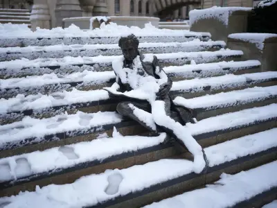
Britain could be hit by a wintry blast later this month, with weather maps showing temperatures plunging to -1C and snow in parts of the country.
Forecast charts for Thursday, October 22, show a potentially cold spell developing across northern parts of Britain, with the possibility of snow over higher ground as temperatures fall.
Scotland set for coldest conditions
The latest WXCharts weather maps suggest Scotland could see the coldest conditions, while other parts of the UK face a mixture of rain, strong winds and cooler temperatures.
Snowfall projections indicate the potential for accumulations across parts of the Scottish Highlands and other elevated areas if the colder air and precipitation coincide.
The minimum temperature chart also shows readings approaching or falling below freezing in parts of northern Britain, with the possibility of a -1C low in the coldest locations, primarily in the northeastern parts of the country.
Milder conditions elsewhere
But elsewhere temperatures are forecast to remain higher, particularly across southern England, where conditions could be considerably milder than in Scotland.
The Met Office's long-range outlook for Wednesday, October 14, to Friday, October 23, suggests unsettled conditions are more likely than a prolonged nationwide cold spell.
The forecaster expects a series of low-pressure systems to move across the North Atlantic, often passing to the North and North-west of the UK. These systems are expected to bring spells of rain and strong winds, interspersed with brighter periods and showers.
Rainfall and temperature outlook
The Met Office said rainfall would be most frequent over hills in western areas, particularly the North-west, where above-average rainfall is likely during the period. Sheltered southern and eastern areas are more likely to enjoy longer dry spells, although conditions could still be wetter than in recent weeks.
The Met Office outlook said: “Whilst brief cooler interludes are possible, temperatures are likely to be a little above average in many areas for the period as a whole, and potentially quite warm in parts of the southeast at times.”
After an unusually warm start to autumn, Britain has already begun to feel a more noticeable change in the weather. September was the UK's joint-fourth warmest on record, with temperatures reaching 28.1C on September 29, according to provisional Met Office figures. The unseasonable warmth continued into October, with 24.3C.