
The United Kingdom has recorded its warmest April 7 on record, with temperatures surpassing those in traditional hot spots such as Cairo and Athens, according to the Met Office. The highest temperature of the year so far was registered in Mona, Anglesey, at 24.8°C on Tuesday, with Wednesday expected to be even hotter, particularly in central and south-east England, where mercury could hit 26°C—well above the early April average of 12°C to 15°C.
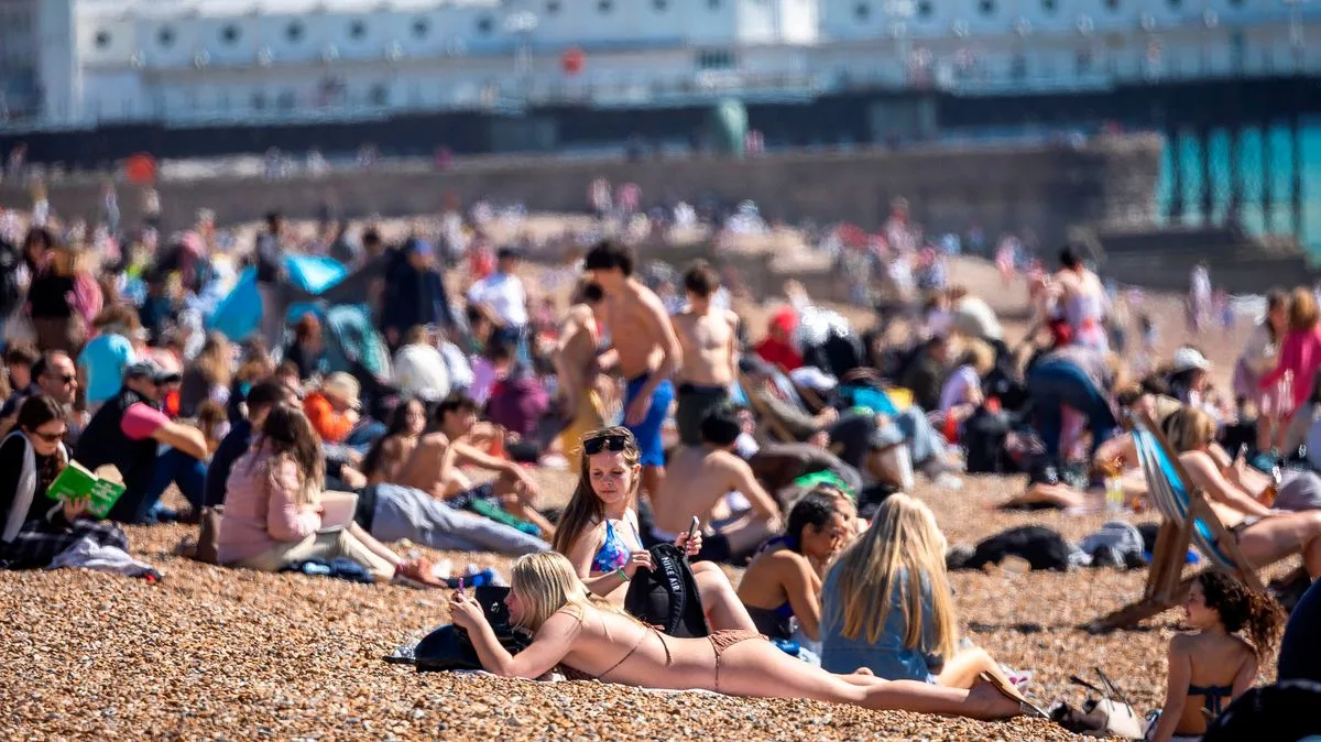
By 4pm on Wednesday, London is set to be hotter than Cairo, Athens, Tunis, and Dubai, according to BBC weather maps. The warmth coincides with school Easter holidays, drawing crowds to beaches across the country. Brighton and Hove City Council leader Bella Sankey noted the city's seafront cafes and bars were bustling, while Weymouth Town Council reported a surge of visitors enjoying the sun on Weymouth beach.
Bournemouth, Christchurch and Poole Council reminded beachgoers to follow water safety advice and noted that disposable barbecues are only permitted between 6pm and 10.30pm. Webcams captured crowds at Lyme Regis beach in Dorset, as many made the most of the unseasonably warm weather.

Met Office chief forecaster Paul Gundersen described the spell as 'brief but notable,' with temperatures more typical of late spring or early summer. He warned, however, that the warmth would be short-lived, with a marked drop of around 10°C expected between Wednesday and Thursday as more unsettled conditions develop.


