
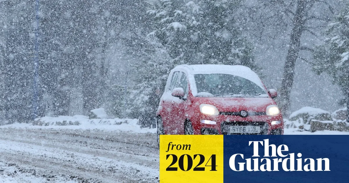
An Arctic blast is set to sweep across the UK this week, bringing sub-zero temperatures and snow after an unseasonably mild weekend. Meteorologists have warned of widespread frost and icy patches, particularly in rural areas, as cold air from the Arctic replaces the milder conditions.
High ground in Scotland could see temperatures as low as -12°C on Monday night, with snow cover expected to contribute to the chill. Rural areas across the UK are forecast to experience sub-zero conditions on Monday and Tuesday, with the Peak District and parts of Wales also facing lows of -4°C and -5°C respectively.
Met Office forecaster Marco Petagna noted that the sudden temperature drop is due to icy winds from the Arctic arriving on Monday. He said: 'It could be -12°C on Monday night in the higher ground of Scotland where we've got snow cover. It's not unusual, given it's winter now.'
The cold snap is expected to cause some travel disruption on higher ground, with ice, frost, and fog predicted for the first half of the week. The northern half of the UK could see snow on Tuesday as rain moves into colder air on higher ground.
Temperatures are expected to rise across the UK on Tuesday afternoon as warmer air from the west moves in, turning early snow to slush and bringing rain by midweek.




