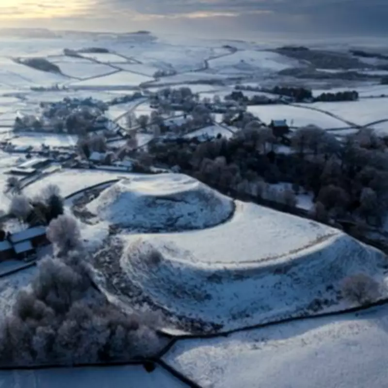
The Met Office has warned that an Arctic blast is set to sweep across the UK on Wednesday, bringing snow and frost to several regions. Following a period of balmy weather with temperatures in the 20s Celsius earlier this month, the country has experienced a return to unsettled conditions, with heavy rain and much cooler temperatures.
Low Pressure Systems Bring Arctic Air
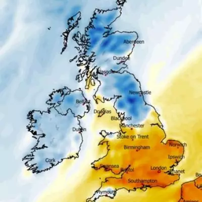
Low pressure systems moving in from the northwest are mixing with Arctic air, leading to a significant drop in temperatures. Weather maps from WXCharts indicate a band of snow moving in, which could blanket much of Scotland, particularly the Highlands, Argyll and Bute, Perth and Kinross, Stirling, and surrounding higher inland areas.
In England, areas in North and West Yorkshire are also likely to see snow, with towns in Greater Manchester and Cheshire potentially experiencing lighter flurries. While widespread snow is forecast, southern regions are expected to see rain instead. Blackpool, Preston, and Blackburn are anticipating heavy rain based on MetDesk data.

Temperature Forecast
On Wednesday morning, temperatures are expected to be close to freezing in Scotland, with lows of 3°C in England. The Met Office forecast mentions "wintriness" for Wednesday, stating: "A mix of sunshine and showers across the UK. Some of the showers heavy with hail and thunder, even some wintriness over the Scottish mountains. Brisk and chilly northwesterly winds."
Met Office forecaster Clare Nasir explained that colder air is moving in with low pressure systems. She said: "More showers gather towards the north, this is low pressure bringing some unstable air. Those showers will be heavy as we head into Wednesday morning. A dry morning across the south but those showers gradually pushing in there, merging to form longer spells of rain and in fact those showers could turn heavy with a risk of thunder through the day." She added: "Still chilly to start the day even with a touch of frost in one or two sheltered spots but showers never too far away."
Regions Forecast Snow
- Highlands
- Argyll & Bute
- Perth and Kinross
- Stirling
- Gwynedd
- Cheshire
- Cumbria
- Greater Manchester
- West Yorkshire
- North Yorkshire
- Teeside
- Humber area
- Durham
According to BBC Weather, high pressure winds from a northerly direction will bring cool air to the country. The forecast states: "During the second half of the week our air will have originated from around the Arctic Circle in northern Scandinavia. Daytime temperatures for most will be much colder than normal at 9-14 Celsius (48-57F) in many areas."