
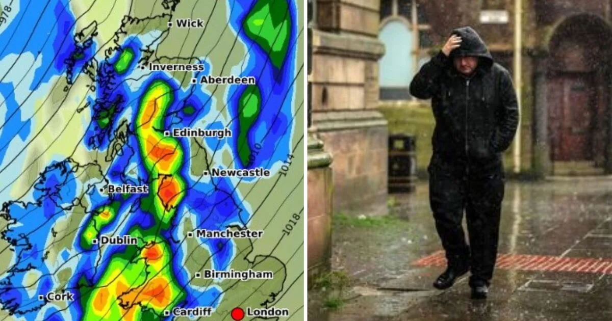
Britain is bracing for severe weather as new forecasts reveal a massive 600-mile storm set to lash the country from Aberdeen to Cornwall with torrential rain and powerful winds. The Met Office has issued yellow weather warnings for rain and wind, warning of potential flooding, travel disruption, and hazardous conditions throughout Sunday.
According to the latest weather charts from WXCharts, the storm will begin impacting western parts of the UK late Saturday night, with heavy rainfall and strong winds intensifying by Sunday morning, February 23. The extreme weather will rapidly spread eastward throughout the day, covering almost the entire country by nightfall, sparing only parts of southeastern England until later.
The incoming storm is expected to bring rain rates exceeding 10-20mm per hour in some areas, with sustained winds of 50-60mph, particularly in coastal regions. Stronger gusts could exceed 70mph, posing risks of structural damage, fallen trees, and hazardous travel conditions.
Major cities in the storm's path include Aberdeen, Edinburgh, Newcastle, Manchester, Birmingham, Cardiff, and Plymouth, with rail and road disruptions highly likely. Coastal areas are expected to see large waves and potential storm surges, particularly along the west and southwest coasts.
With widespread rain and wind warnings in place, authorities are urging the public to prepare for possible flooding and power outages. Motorists are advised to avoid unnecessary travel, and residents in flood-prone areas should take precautions.




