
UK Braces for Extended Snow Event as Temperatures Set to Plummet
Meteorological charts are painting a stark picture for the United Kingdom, with a significant winter weather event forecast to unfold over a 33-hour period. According to detailed projections from WXCharts, a prolonged spell of snowfall is expected to affect multiple regions, bringing with it the potential for blizzard-like conditions and a sharp drop in temperatures.
Timing and Intensity of the Incoming Cold Snap
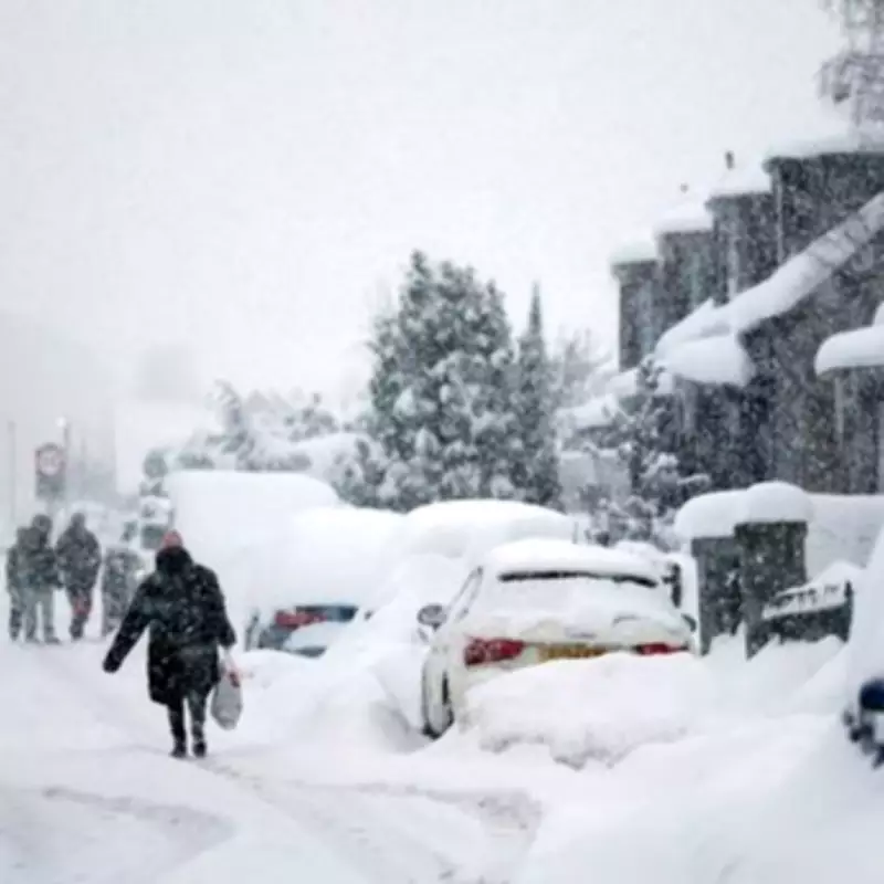
The wintry onslaught is scheduled to commence at 9pm on February 5, persisting through until 6am on February 7. During this timeframe, weather maps have transitioned to white and purple colourations, signalling the likelihood of substantial precipitation and freezing conditions. Temperatures are anticipated to plunge to a bitter -4°C, creating hazardous travel conditions and impacting daily life across the affected areas.
Forecasters note that approximately 13 counties are in line to experience the brunt of this cold spell. The snow is projected to blanket parts of England and Scotland, with accumulations varying by location and elevation.

Detailed Meteorological Outlook and Regional Impacts
The broader weather pattern for early to mid-February suggests a complex atmospheric setup. Frontal systems over the Atlantic, influenced by a jet stream positioned further south than usual, are expected to approach the UK. However, these systems may stall as they meet a blocking area of high pressure to the north and northeast.
This configuration is likely to result in further periods of rain, which could exacerbate flooding concerns in already vulnerable regions. As these rain bands push northwards, they are forecast to interact with colder air masses, increasing the potential for snow, particularly across northern England and Scotland, and especially over higher ground.
Looking ahead to the second week of February, a subtle southward shift of low-pressure areas is anticipated. This movement could allow colder air to spread more widely across the UK, including southern regions, thereby elevating the risk of wintry hazards such as ice and snow for a temporary period.
Counties Forecast to Experience Snowfall
The following list details the counties identified by WXCharts as being at risk of significant snowfall during this weather event:
- Shropshire
- Worcestershire
- Warwickshire
- Gloucestershire
- Staffordshire
- Derbyshire
- Perth and Kinross
- Stirling
- Aberdeenshire
- Moray
- Inverness
- South Lanarkshire
- Dumfries and Galloway
Residents in these areas are advised to stay updated with the latest weather warnings from official sources and to prepare for potential disruptions to transport and services. The combination of sustained snowfall and sub-zero temperatures underscores the need for caution during this extended period of wintry weather.


