
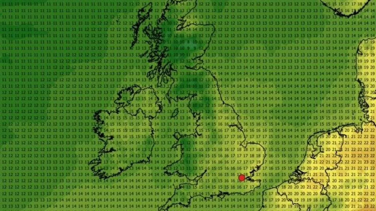
The UK's record-breaking heatwave is set to come to a sudden end, with temperatures forecast to drop as low as 5°C in parts of Scotland next week, according to the latest weather maps. The scorching conditions that saw the mercury hit 35.1°C at Kew Gardens on Tuesday are expected to give way to much cooler and unsettled weather from the weekend.
The Met Office confirmed that the heatwave will gradually reduce in intensity over the coming days, with a transition to more changeable conditions by Saturday. Chief Forecaster Chris Bulmer said: 'We're now starting to see this spell of very hot weather break down. Many areas will begin to feel fresher conditions moving in through Friday and into the weekend as a weak cold front moves southeast.'
Forecast data from WXCharts indicates that by Sunday, temperatures could plummet to around 5°C in the Highlands, Aberdeenshire, and Perth and Kinross at 7am. Across much of the UK, maximum temperatures next week are expected to hover in the mid-teens Celsius, with the south of England seeing highs of 21-22°C by Thursday, June 11.
The Met Office's long-range forecast for June 2 to June 11 predicts Atlantic weather systems bringing showers or longer spells of rain, with the best of the drier conditions likely in the south and east. Temperatures are expected to be near-normal overall, with the warmest spots most likely across eastern areas.




