
Two-Day Blizzard Forecast to Bury 16 English Counties in Heavy Snow
New weather maps have revealed that a significant two-day blizzard is set to sweep across England, with 16 counties expected to be buried under heavy snowfall. The severe weather event is predicted to commence on February 16 and persist into February 17, potentially causing widespread disruption and hazardous conditions for many Britons.
Forecast Details and Snowfall Predictions
According to the latest models from WXCharts, a weather front will move across the country, bringing substantial snow accumulations. The blizzard is forecast to develop from the Irish Sea, with bands of snow blowing eastward across the UK. Northern and eastern regions of England, along with much of Scotland, are anticipated to bear the brunt of the snowfall, although flurries may affect numerous other areas.
The snowfall is expected to begin around midnight on February 16, as a band of rain collides with cold air. Initial flurries are likely in Suffolk, Norfolk, Lincolnshire, Yorkshire, and the north-east. Overnight, the precipitation will shift, leaving snow over Cumbria, Northumberland, Lancashire, North Yorkshire, and extensive parts of Scotland.

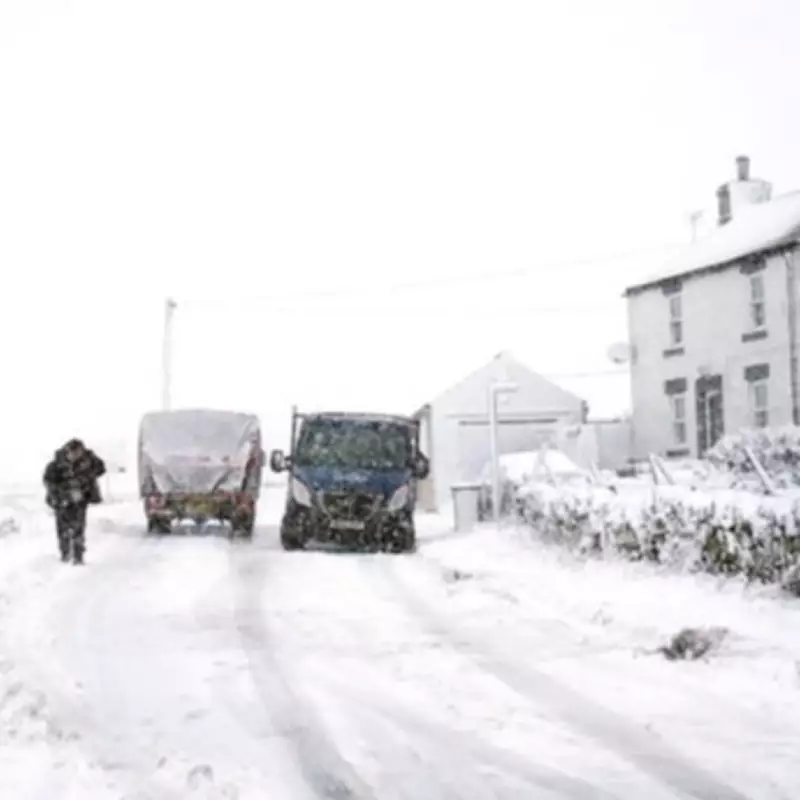
Snow Accumulation and Impact
Many residents could wake up to as much as 10 centimetres of settled snow, while the worst-affected areas in Scotland may experience double that amount. Temperatures are forecast to rise later in the morning, turning the snow back into rain as a wet weather band moves across the country. However, the blizzard is due to return at sunset as temperatures drop again, with a belt of snow expected over much of the Midlands, spreading north-west and into Wales.
The persistent cold temperatures will likely cause any fallen snow to settle, increasing the risk of icy conditions overnight. This freeze brings potential travel hazards, such as black ice, which could pose dangers come morning. The Met Office has also warned in its long-range forecast that February could still deliver wintry weather, particularly when low-pressure systems interact with colder air across the UK.
Met Office Long-Range Outlook
The Met Office stated, "Predominantly cyclonic patterns are expected to dominate the UK. The early part of this period could see colder conditions becoming established more widely for a time, bringing with it the likelihood of some snow, primarily to the north and north-east. However, this should offer a few days respite from the wet weather across the south. By the end of this period, the track of Atlantic depressions may shift a little further north than during the last few weeks. This will maintain broadly unsettled weather, with further spells of rain and perhaps strong winds at times."
Full List of Affected Counties
- County Durham
- Cumbria
- Derbyshire
- East Yorkshire
- Greater Manchester
- Lancashire
- Leicestershire
- Lincolnshire
- Merseyside
- Norfolk
- North Yorkshire
- Nottinghamshire
- Northumberland
- South Yorkshire
- Suffolk
- West Yorkshire
Residents in these areas are advised to prepare for potential travel delays, school closures, and other disruptions as the blizzard approaches. Stay updated with local weather warnings and take necessary precautions to ensure safety during this severe weather event.


