
Tropical Storm Jangmi has injured 16 people and cut power to tens of thousands of homes in southwestern Japan, prompting the evacuation of nearly 400,000 residents and the cancellation of hundreds of flights. The storm, which weakened from typhoon status, battered Okinawa on Monday before moving north toward Kyushu.
The Japan Meteorological Agency warned of high waves, landslides and flooding as the storm continued northeast. By Tuesday morning, around 17,000 households in Okinawa and over 30,000 in the Kagoshima region were without power. The entire population of Miyazaki city on Kyushu, approximately 390,000 people, was urged to evacuate.
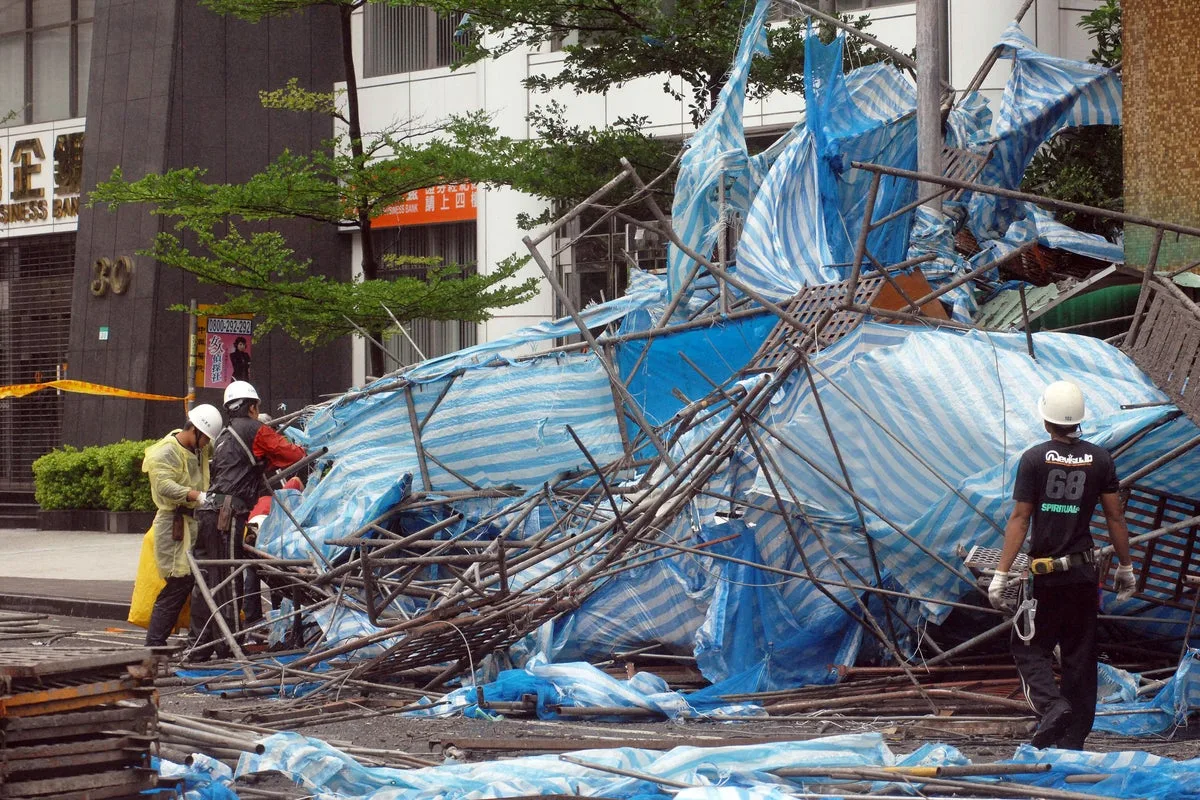
Injuries in Okinawa resulted from flying objects striking cars and strong winds knocking people over, according to public broadcaster NHK. A 10-metre tree was felled by the storm's winds. The storm was located about 140km west-southwest of Yakushima island on Tuesday, moving at 30kmph with sustained winds of 90kmph and gusts up to 126kmph.

Japan's top government spokesman Minoru Kihara warned that public transport in Tokyo and nearby cities could face disruptions on Wednesday as the storm approaches. He urged residents to pay close attention to evacuation information and take action to protect their lives. Japan's two largest airlines, All Nippon Airways and Japan Airlines, cancelled a combined 600 flights scheduled between Monday and Wednesday.
Forecasters predict rainfall totals of 200 to 300mm in affected regions, with western Japan areas like Shikoku and Kansai expected to receive up to 300mm by Wednesday noon. The storm is expected to move northeast along the Pacific coast through Wednesday before weakening.


