
Hawaii is assessing extensive damage after the worst flooding in more than 20 years hit the islands, forcing evacuations on Oahu and Maui. Heavy rains lifted houses and cars, swept through stores, and left streets clogged with mud.
The storm, one of the most significant in decades, followed extreme winter weather that saturated the ground. Governor Josh Green said during a press conference on Friday that the storms caused at least $1bn in damages.
At the storm's peak, officials feared the 85ft, 120-year-old Wahiawa dam could fail, endangering thousands. That threat has since subsided as water levels fell, according to Molly Pierce, a spokesperson for Oahu's department of emergency management.

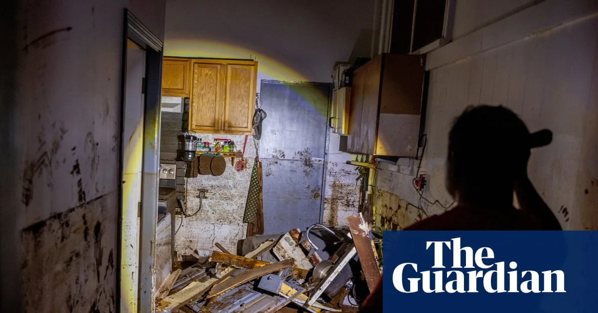
More than 200 people were rescued from floodwaters, with no deaths reported as of Sunday afternoon. In North Shore communities like Waialua and Hale'iwa, many homes were covered in mud, and yards filled with debris as residents sifted through belongings.
Winter storm systems known as 'Kona lows' have been responsible for the deluges, bringing moisture-laden air. Experts say the intensity and frequency of heavy rains in Hawaii have increased due to human-caused global warming.
By Sunday afternoon, the worst appeared to be over, with scattered rain expected. Additional isolated flooding could still occur, but drier weather is expected by Wednesday, according to meteorologist Matthew Foster.


