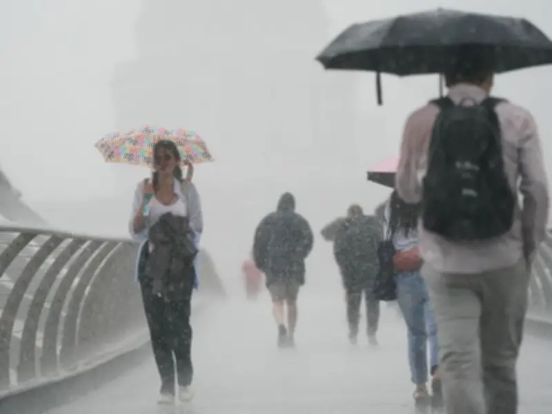
The Met Office has issued a yellow weather warning for rain across parts of Scotland, with seven-hour downpours expected to cause flooding, power cuts, and travel disruption. The warning, announced shortly after 10am, covers central Scotland from 2pm to 9pm today.
Forecast Details and Affected Areas
According to the Met Office forecast: "Following rain overnight and this morning, which could be heavy at times, showers are expected to break out this afternoon which are likely to be slow-moving. A few places could see 20 mm in an hour, and there is a chance that the odd location could see 30-40mm in 2-3 hours. This may lead to some localised flooding and travel disruption across parts of central Scotland." The heaviest showers may be accompanied by thunder, but will tend to steadily fade through the evening.
The yellow warning covers Central, Tayside and Fife, SW Scotland, Lothian Borders, and Strathclyde. Specific areas include Clackmannanshire, Falkirk, Fife, Perth and Kinross, Stirling, Edinburgh, Scottish Borders, West Lothian, Argyll and Bute, East Ayrshire, East Dunbartonshire, East Renfrewshire, Glasgow, Inverclyde, North Ayrshire, North Lanarkshire, Renfrewshire, South Ayrshire, South Lanarkshire, and West Dunbartonshire.

Potential Impacts and Preparedness Advice
The Met Office warned of potential transport disruptions: "Spray and flooding on roads probably making journey times longer; Bus and train services probably affected with journey times taking longer; Flooding of a few homes and businesses is possible; Some interruption to power supplies and other services possible." Residents in 20 areas across Scotland have been advised to gather torches, batteries, a mobile phone power pack, and other essential items ahead of possible power cuts.
Northern Ireland Also Affected
A separate yellow weather warning for thunderstorms has been issued for Northern Ireland, where heavy rainfall and thunderstorms are expected to hit the region today. Residents have been urged to plan ahead.
Temperature Outlook and Weekend Forecast
Overall temperatures have returned to normal for the time of year following intense heatwaves last week, which saw temperatures reach 37°C in parts of England. From Tuesday into midweek, conditions are forecast to become more changeable, with showers or longer spells of rain, heaviest and most frequent in the north and west. The south and southeast will remain mostly drier and often warm. Some showers on Tuesday could be thundery, with potential for a thunderstorm warning.
However, heatwave conditions may return by the end of the week, with 30°C predicted for parts of the UK this weekend. Met Office Deputy Chief Forecaster Tony Wisson said: "The forecast for this weekend suggests that temperatures could approach high 20s°C across parts of England, perhaps 30°C in parts of the southeast, with values of mid to high 20s°C in Wales. Although a return to heatwave conditions is looking increasingly likely for some areas, the likelihood of such extreme high temperatures or high levels of humidity as last week is currently low."