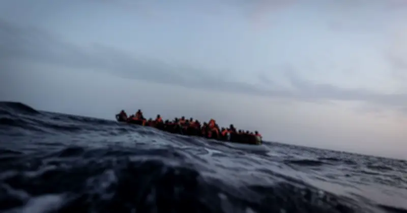
The International Organization for Migration (IOM) has published a map detailing the main departure areas, maritime routes and known shipwreck locations along the Atlantic migration route towards Spain's Canary Islands. The map traces the journey from the North-west African coastline to the Spanish archipelago, identifying departure points across Mauritania, Senegal, The Gambia, Guinea-Bissau and Guinea.
Sharp Decline in Arrivals
Between January and June 2026, 3,708 migrants reached the Canary Islands by boat from the coasts of West and North Africa. This represents a 67% fall compared to the 11,321 recorded during the same period last year. The number of boats arriving also dropped sharply, from 186 in the first half of 2025 to just 49 in the first six months of this year, a decrease of 74%.
Ongoing Risks and Fatalities
The IOM identified 59 boats which failed to reach the Canary Islands between January and June, with 168 migrants dying or disappearing at sea. The missing migrants are presumed to have died, although their bodies were never recovered. The organisation warned that the true death toll is likely to be higher because many shipwrecks go unreported.
Distances and Departure Shifts
The map highlights the distances involved in the journey, which vary considerably depending on the point of departure. Nouadhibou in Mauritania is shown approximately 791 kilometres from the Canary Islands, while Saint-Louis in Senegal is around 1,541 kilometres away. The distances increase further south: approximately 2,136 kilometres from Ziguinchor in Senegal and 2,423 kilometres from Conakry in Guinea.
According to the IOM, shipwrecks recorded during the first half of 2026 occurred mainly off the coasts of the Canary Islands, Morocco and Mauritania. The deceased were mostly unidentified and presumed to be from sub-Saharan Africa. The IOM said the Atlantic route, which had been active until 2006, had experienced increasing movements since 2020. It warned that intensified border monitoring had shifted departure points southwards along the West African coast, making journeys longer and more dangerous.
Data Limitations
The organisation stressed that available information remains incomplete, with little reliable data on departures and attempted crossings from West African shores. There is no harmonised system for collecting information across the route, beyond data gathered when migrants arrive in the Canary Islands. Information about deaths and disappearances is particularly limited, with details such as nationality, age and gender frequently unreported.
The IOM's Missing Migrants Project relies largely on information from its field offices, non-governmental organisations and media reports to record fatalities along the Atlantic route. The organisation said the recorded figures should therefore be treated as minimum estimates rather than a complete account of the human cost.