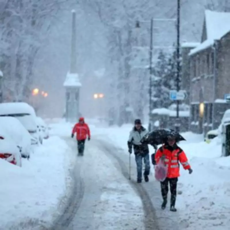
Weather experts are warning of a dramatic shift in conditions across the United Kingdom, with a massive 742-mile snow blizzard forecast to strike next week. According to detailed WXCharts weather maps, this extensive wintry system is poised to blanket numerous towns and cities, stretching from Wick in northern Scotland all the way down to Plymouth in southern England.
Sudden Onset of Wintry Conditions
The forecast indicates that the snowy onslaught is likely to commence on March 27, bringing an abrupt end to the recent spell of milder weather. Just days prior, some regions of Britain enjoyed unseasonably warm temperatures, with areas like Gogerddan in west Wales recording highs of 20.9C earlier in the week. This sharp contrast underscores the volatile nature of spring weather patterns.
Heaviest Snowfall Expected in Scotland
Scottish regions are predicted to bear the brunt of this severe weather event. The maps suggest that areas near the Highlands could experience snowfall rates of up to 13 centimetres per hour, leading to significant accumulations and potential travel disruptions. The Atlantic storm driving this system is expected to sweep across parts of Scotland, Wales, and England, delivering widespread wintry precipitation.

Major English Cities on Alert
In addition to Scotland, the snow blizzard will impact several key English urban centres. Cities including Birmingham, Manchester, Leeds, Liverpool, Swansea, London, and Plymouth are forecast to receive between 1 to 2 centimetres of snow per hour. This could result in slippery roads, public transport delays, and school closures as authorities prepare for the challenging conditions.
Met Office Long-Range Forecast
The Met Office's extended outlook from March 24 to April 2 describes a period of changeable and at times unsettled weather across the UK. Their statement reads: "Changeable and at times unsettled conditions for many parts of the UK at the start of this period, as areas of low pressure and their associated frontal zones run close to or over the UK."
It further explains: "These are likely to be most active in the north and somewhat weaker further south, closer to a ridge of high pressure extending northeast from the subtropical Atlantic." The forecast also highlights the potential for widely windy weather initially, with high pressure possibly becoming more dominant by the month's end, bringing drier conditions but with risks of overnight fog and frost.
List of Cities Forecast to See Snow
- Newcastle
- Manchester
- Stoke on Trent
- Birmingham
- Leeds
- Liverpool
- York
- Dundee
- Bristol
- London
- Swansea
- Oxford
- Cambridge
- Gloucester
- Plymouth
- Glasgow
- Aberdeen
- Carlisle
- Inverness
Residents across these 19 cities are advised to stay updated with local weather warnings and prepare for potential disruptions. The combination of heavy snowfall and windy conditions could lead to hazardous travel situations, prompting authorities to issue safety advisories. This event serves as a reminder of the UK's unpredictable climate, even as spring approaches.