Met Éireann has issued an orange-level thunderstorm warning for three counties – Cork, Kerry, and Waterford – valid between 4pm and 7pm on Thursday. The national weather agency warned that “extreme thunderstorm activity” could develop over parts of Ireland, particularly in the northwest and west, if necessary triggers of moisture, instability, and a lifting mechanism are met.
Heatwave and Record Temperatures
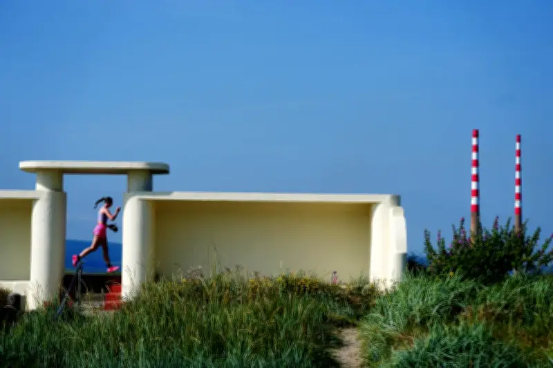
Ireland has been experiencing sweltering conditions as a plume of extremely hot air that brought temperatures exceeding 40°C to Europe drifted towards the island this week. Temperatures in the Republic of Ireland exceeded 31°C in some areas, with provisional local records set at Athenry (31.7°C), Mace Head (30.4°C), Claremorris (30.7°C), and Knock Airport (29°C). Senior meteorologists noted that the all-time record of 33.3°C at Kilkenny Castle on June 26, 1887, was close to being “challenged,” though it did not happen by 5pm. Northern Ireland’s record temperature stands at 31.3°C on July 21, 2021, at Castlederg, Co Tyrone.
Weather Warnings Across the Island
Met Éireann had already placed the entire country under a status yellow high temperature warning since noon on Tuesday, later extended until 9am on Saturday. Additionally, a yellow-level thunderstorm warning applies to Donegal, Galway, Leitrim, Mayo, Roscommon, and Sligo from 3pm Thursday to 9am Friday. Another yellow-level thunderstorm warning has been issued for 16 counties – Cavan, Clare, Donegal, Galway, Kildare, Leitrim, Laois, Longford, Mayo, Meath, Monaghan, Offaly, Roscommon, Sligo, Tipperary, and Westmeath – from 9am to 6pm on Friday.

The UK Met Office issued a yellow thunderstorm warning for all of Northern Ireland, in effect from midnight to 10am on Friday. It warned that heavy showers and thunderstorms could bring disruption, with a “small chance that homes and businesses could be flooded quickly, with damage to some buildings from floodwater, lightning strikes, hail or strong winds.” The Met Office also noted a “slight chance that power cuts could occur” and other services to homes and businesses could be lost.
Potential Impacts
Met Éireann warned of “torrential downpours” leading to flooding, lightning damage, “large hail,” hazardous driving conditions, and very gusty winds. There could also be damage to power, water, gas, and telecommunication utilities. The high temperatures bring water safety issues due to increased use of lakes and beaches, uncomfortable sleeping conditions, heat stress, and possible forest fires.
The continued high temperatures mean parts of Ireland could fall under the official definition of a heatwave by Friday, after experiencing five consecutive summer days above 25°C.
Climate Context
Ireland’s climate is projected to get warmer, with average temperatures increasing across all seasons. Met Éireann’s annual climate statement noted that seven of the top 10 warmest years in Ireland have occurred since 2005, and last year was the second warmest on record. Further warming increases the likelihood of extreme weather events. The country will become wetter overall, with wetter winters and drier summers, and more frequent droughts projected for summer and spring months. The Environmental Protection Agency also warned of increased exposure to coastal flooding due to rising sea levels.
The Government of Ireland advised people to stay in the shade, avoid strenuous activities during the hottest part of the day, drink plenty of fluids, and apply sunscreen.