The Bureau of Meteorology (BoM) and other agencies are forecasting that an El Niño weather event is likely to develop in the coming months, bringing hotter and drier conditions to eastern Australia. Felicity Gamble, a senior BoM climatologist, said, 'The models are really aligning now. We are expecting a transition to El Niño sometime during winter.'
The World Meteorological Organization has stated there is a 90% chance of an El Niño developing in the Pacific before November. El Niño is the warm phase of the El Niño-Southern Oscillation, which affects global climate. During an El Niño, sea surface temperatures in the central equatorial Pacific become warmer than average, shifting atmospheric circulation and reducing rainfall over northern Australia.
While the BoM has indicated that the forecast El Niño—the first since spring 2023—could be at least moderate in strength, Gamble emphasised that the strength of the event does not necessarily correlate with the severity of impacts in Australia. Other climate patterns, such as the Indian Ocean dipole and the southern annular mode, also influence local weather.

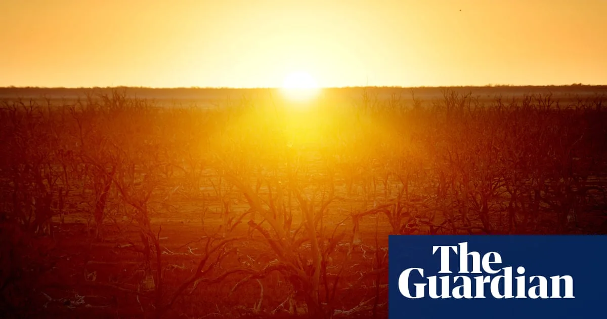
Historically, El Niño has been linked to warmer temperatures across southern Australia and an increased risk of drought, heatwaves, bushfires, and coral bleaching. For eastern Australia, nine of the ten driest winter-spring periods on record have occurred during El Niño years. However, Gamble noted that the transition to drought and increased fire risk is not immediate and depends on recent conditions.
Dr Andrew Watkins, a Climate Councillor and former head of climate prediction at the BoM, warned that climate change and El Niño form a 'very dangerous double act,' amplifying the risks of drought, bushfire weather, and extreme heat. He added that while the strength of El Niño does not automatically dictate impacts in Australia, each event has historically led to hotter and drier conditions.