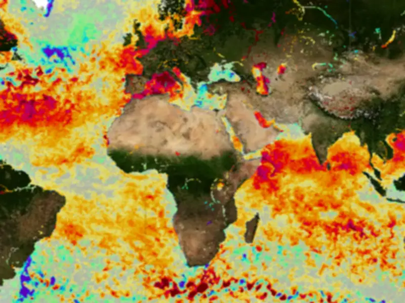
The World Meteorological Organization (WMO) has issued a renewed warning over this year's El Nino, which is expected to be the strongest on record. The weather phenomenon threatens to “unleash multiple hazards” including extreme temperatures, floods, food shortages and cyclones.
The WMO said “all aspects of society” are likely to be affected in some parts of the world, with experts urging governments and communities to prepare now. It highlighted potentially disastrous implications for “agriculture and food security, water resources, health, marine ecosystems and fisheries”.
Seven Areas Named as High Risk
The WMO specifically named seven places facing this multitude of hazards: South Africa, Mozambique, Malawi, Madagascar, Tanzania, the Seychelles, and the Mascarene Islands. The South-West Indian Ocean region could face a multitude of hazards as a result of El Nino from now until March next year.
“Southern parts of the region need to strengthen preparedness for drought, water stress and food-security risks; northern and wetter areas need to prepare for flooding and landslides; while island States require a flexible multi-hazard approach encompassing extreme heat, heavy rainfall, marine impacts and tropical cyclone risk,” the WMO warned.
Regional Risks and Impacts
Drier conditions and increased drought risk are expected in South Africa, southern and central Mozambique, Malawi and south-western Madagascar. This could increase risks to agriculture, pasture, water resources, food security and livelihoods.
Wetter conditions and increased flood risk are expected across Tanzania, northern Malawi, the Seychelles and parts of the Mascarene Islands, with associated risks of flooding, flash floods, landslides, infrastructure disruption and water contamination. “Drought and heat may reduce agricultural productivity and increase water stress in southern areas, while excessive rainfall could result in flooding, crop damage and water contamination,” the WMO said.
Temperature and Cyclone Outlook
Mixed rainfall signals are expected over Madagascar, with the north and east more likely to experience normal to above-normal rainfall, while the south-west is more exposed to below-normal rainfall and drought stress. Above-normal temperatures are expected across the entire region, with a substantially increased likelihood of exceptionally high temperatures.
Below-normal tropical cyclone activity is expected for the South-West Indian Ocean basin overall, influenced by El Nino. This means cyclones may track south and miss Madagascar and Mozambique, while the Mascarene Islands retain a near-normal cyclone risk.
El Nino occurs every few years when temperatures in the tropical eastern Pacific rise 0.5C above the long-term average. For the UK, it tends to lead to wetter and stormier conditions in the winter months, and extreme heat during the summer. The current El Nino is set to be the strongest in living memory, experts have warned. The Met Office's long-range outlook covering the next three months points to higher-than-average chances of rain, strong winds and mild conditions. The probability of the October to December period being wet overall is twice the normal level.