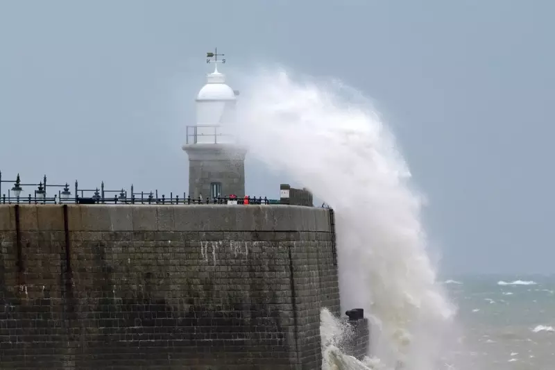
The Met Office has raised the alarm across multiple UK regions as a deluge of heavy rain threatens to unleash travel chaos and significant flooding throughout the week.
Severe Weather Warnings in Force
Meteorologists have issued yellow weather warnings covering substantial portions of Scotland, Northern Ireland, and northern England, with the downpours expected to persist until Wednesday. The alert level indicates potential danger to life and property as floodwaters may rapidly overwhelm drainage systems.
Transport Network Under Threat
Commuters and travellers are being urged to prepare for major disruptions as the torrential rainfall creates hazardous driving conditions. Key transport routes, including the M8 and M74 in Scotland, could see significant delays and potential closures if flooding occurs.

Key areas affected include:
- Central Scotland, including Glasgow and Edinburgh
- Southwest Scotland
- Northern Ireland, particularly eastern counties
- Parts of northwest England
Flooding Risks Escalate
Environment agencies across the affected regions have deployed additional resources as river levels continue to rise. Emergency services are on high alert, with particular concern for low-lying areas and communities near rapidly responding watercourses.
The Scottish Environment Protection Agency (SEPA) has issued its own flood alerts, warning that "persistent and occasionally heavy rain could lead to some flooding impacts from rivers and surface water."
Public Safety Advice
Authorities are advising residents in affected areas to:
- Avoid unnecessary travel during peak rainfall periods
- Check local flood warnings before journeying
- Prepare emergency kits for potential power outages
- Move valuable items to upper floors in flood-risk properties
Motorists are being particularly cautioned against driving through floodwater, with emergency services reminding that just 30cm of moving water can float a car.
Weather Pattern Analysis
Meteorologists attribute the severe conditions to a slow-moving weather system drawing moisture from the Atlantic, creating the perfect conditions for persistent, heavy rainfall. The system is expected to gradually move eastward through midweek, though rainfall totals could reach 50-80mm in some areas, with higher ground potentially seeing up to 100mm.
The Met Office continues to monitor the situation closely and may upgrade warnings to amber if conditions deteriorate further.