Traffic modelling data published by Trafford council reveals that by 2045, two sections of the proposed £132m Carrington Relief Road, including a key junction, will hit more than 90% capacity – the point at which severe congestion is thought to be highly probable. The road is not expected to open until after 2030, if approved.
Project aims and local opposition
The relief road has been touted by political leaders as the solution to traffic woes in the area around Partington and Carrington. The project aims to divert traffic away from the A6144, reducing congestion and improving travel times for drivers and public transport users.
The 2.7-mile road would link the A6144 Manchester Road to the west with the A6144 Carrington Spur in the east. It forms a key part of the council’s New Carrington plan, which will ultimately see around 5,000 new homes and 350,000sqm of new employment space built.
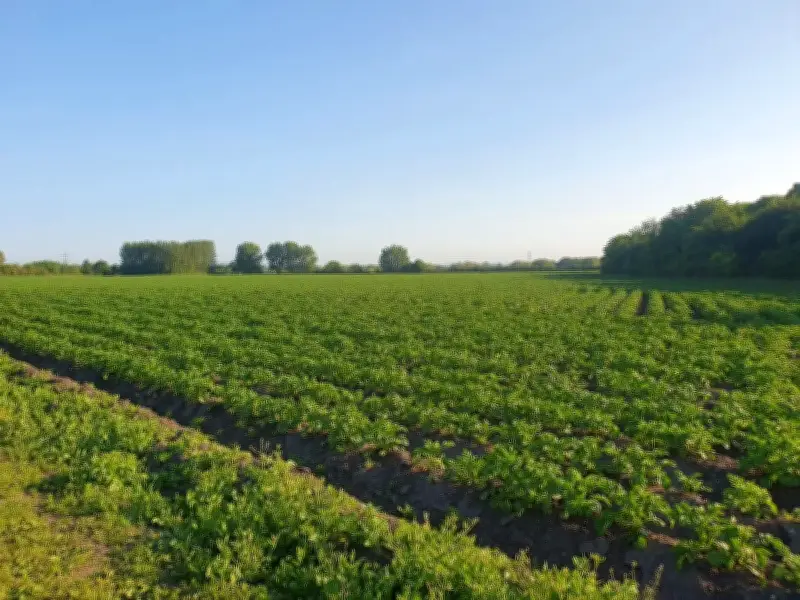
But many in the local community do not want it, with around 800 objections submitted against the plan. Residents fear that, rather than relieving traffic issues locally, the new route will actually add to them by drawing people away from the motorways and into the area as they seek to speed up journeys. They have also raised serious concerns about the environmental consequences of building the road through what is currently predominantly greenbelt land.
Decision process and new rules
A decision on the Carrington Relief Road plan is expected in November, council emails reveal. However, this raises new questions over who precisely will decide the plan, with new rules coming into force at the end of the month. These rules limit the circumstances in which a proposal can be called before the planning committee, with strength of public objection no longer among them.
The council has said the scheme will be subject to these new rules, with officers judging whether it falls into schedule one or schedule two applications. Schedule one plans – usually minor householder, residential or commercial applications – are automatically passed to council officers to determine. For a schedule two plan, the lead planning officer and lead committee member must then both agree that it meets the criteria to go to the committee for that to happen. Those criteria include significant environmental, social or economic issues arising from the plan.
Campaigners' alternative and traffic projections
Campaigners are now gearing up for one last effort to protect their communities from a scheme they believe will cause ‘severe and permanent environmental and ecological harm’. A petition calling on council bosses to reconsider an alternative route that would avoid building on farmland has now reached more than 1,000 signatures. Their plan would maintain improvements to the A1 route through the industrial zone, drawing traffic away from Carrington Village, campaigners said. However, the eastern section of the route, which would link the A1 to the Carrington Spur across fields, would be removed.
Instead, the group wants to see the road turn northwards to rejoin the existing road network, which they say should be upgraded to cope with additional traffic. Campaign group Friends of Carrington Moss (FOCM) is among the organisations calling for a rethink. They say their alternative would still relieve traffic congestion in the area, but would cost less and cause less harm. The money saved, they believe, should be used to upgrade public transport options instead to reduce car reliance as a longer term solution to the current issues.
Many in the area, including local MP Andrew Western, have called for new tram and train links and an increase in buses for the local community. While the council has previously said it intends to add more buses to the area, it ruled out reopening the old train tracks in the area. Instead, it wants to turn the existing lines into new walking and cycling routes.
Trafford council says the alternative route backed by campaigners has already been considered and discounted by planners. Option appraisal exercises took place in December 2020 and September 2021. Following these exercises, the current plan was selected as the preferred route. The council said this decision was informed by ‘a range of factors including flood risk, environmental impact, landscape change and the carbon budget’.
But FOCM feels that appraisal does not provide a sound basis for rejecting their plan. They argue the selection was made based on out-of-date and ‘unreliable’ traffic modelling, and their scheme was discounted in part because of a ‘misunderstanding’ of Transport for Greater Manchester’s requirements for upgrading public right of ways that led to it being judged too expensive.
Capacity concerns and council response
New traffic modelling for the scheme was published over the summer, prompting a new consultation on the plans. This data shows that the Carrington Relief Road is expected to provide a short-term solution to current capacity issues on nearby roads, moving traffic away from the A6144. However, some sections of the new road itself will be operating close to capacity by 2045, the data suggests. This includes its junction with the A6144, Carrington Spur and Banky Lane, with part of the junction sitting at 91.2% capacity during morning peaks.
In addition, the junction of the A6144, Flixton Road and Isherwood Road is expected to operate between 92.6% and 94.7% capacity during morning and evening peaks by 2045. Highways are thought to be oversaturated with severe congestion highly probable at more than 90% capacity. Documents also state that traffic is expected to be drawn away from the motorways towards the relief road. This would increase the number of vehicles travelling through Partington by 2045, with up to 20,000 cars each day expected to go through the village centre. This number increased to up to 50,000 at the western edge of the village. These figures assume the relief road and New Carrington housing are delivered. FOCM said the area currently sees around 5,000 to 7,000 vehicles per day.
Modelling also shows Lymm, Heatley and parts of Urmston and Stretford would see more traffic travelling through them than would be the case if the relief road is not built. However, the A6144 and roads around Sale are expected to see a drop-off in vehicles compared to if the road is not built, council modelling suggests. The council has said the relief road redirects travel from ‘unsuitable rural roads’.
A spokeswoman for the council said: “Developing a Carrington Relief Road has been a policy of the council for over 20 years. Its purpose is to improve accessibility for Carrington and Partington and to support new development that will provide the homes and jobs that future generations will rely on.
“The road being planned now is very different from when it was first conceived - in that it provides 10m of width for safe walking and cycling and 7.3m for vehicular traffic over much of its length - demonstrating the priority that is given to all modes of movement. The new route is part of a package of wider planned improvements involving better buses and further active travel routes.
“The route options were the subject of thorough investigation during 2020 and 2021, with the final two alternatives including much of what is now being proposed by campaigners. The merits and environmental impacts of the different routes considered are a matter of public record and can be found in reports to the Executive dated 18 December 2020 and 27 September 2021.
“Ultimately the council chose the alignment ‘F’ on which the current planning application is founded, informed by a range of factors including flood risk, environmental impact, landscape change and the carbon budget.
“The current planning application has been progressed following significant technical development work across a broad range of disciplines and liaison with statutory bodies. Regular meetings have been held with campaigners and special interest groups and organisations and amendments to the route design have been made as a result.
“Having carried out this detailed work it cannot be said that alternatives are a cheaper option because those alternative routes have not been subject to the same level of investigation and assessment. We do not know what costs might be involved or what unforeseen difficulties could be associated with a different alignment.
“Having carried out comprehensive ground investigations, no peat has been found on the path of the new road and Natural England has formally stated that it has no objection to the project. Similarly, the Environment Agency has indicated that it has no objection in principle to the application, subject to suitable conditions. Historic England and National Highways have also stated they have no objection to the plans.
“The planning application will be subject to the Gateway Tests under the new National Scheme of Planning Delegation which will examine how the application will be determined. If considered appropriate under these tests, it could proceed to a forthcoming meeting of the council's planning committee, when all of the merits of the plans will be debated and considered. Interested parties will have the opportunity to speak at any meeting in line with committee procedures.”