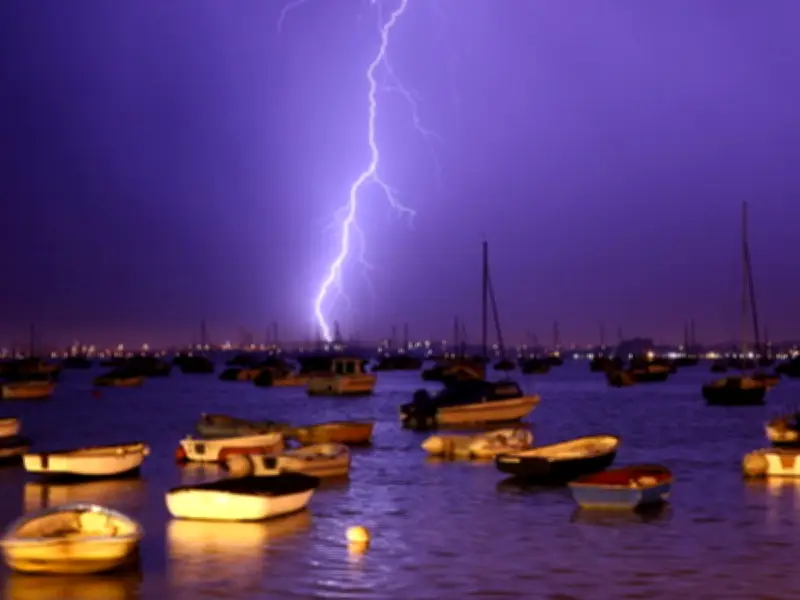
Thunderstorms and heavy rain are set to abruptly end the UK heatwave, with weather maps showing the exact time conditions will switch. The high pressure that brought a 27.8C high in Surrey on Saturday could come to an end within days, bringing spells of heavy rain and thunderstorms.
Several counties saw less than 1mm of rainfall in July, with more than half of England and the entirety of Wales officially in drought. The UK has been hit with four heatwaves so far in 2026, with wildfires causing devastation in Suffolk, the New Forest, Hampshire, Berkshire, Oxfordshire and Dorset. The forecasts come from Ventusky, using data provided by meteorologists at Metdesk.
When Thunderstorms Arrive
On Tuesday, an area of low pressure will extend across the UK from the south west, bringing a spell of potentially heavy rain to parts of the north and showers in the south. Warmer and more humid air will return across England and Wales, with temperatures likely to exceed 30C again in some places.
Maps show that at around 4am, parts of Northern Ireland could see thunderstorms, along with Cumbria and the Northeast of England. An area of low pressure will also cover much of Scotland. By 7am, rain is expected to move down to north Wales, with storms also possible in parts of the Northwest of England and as far south as Devon and Hampshire.
At 10am, thunderstorms could be felt in parts of Cumbria and again in Scotland, as rain moves over eastern England, with areas in Berkshire and Birmingham predicted to see rainfall. By 4pm, the storms may return across the Irish Sea, with Belfast potentially struck by storms.
No Official Warning
No official weather warning for rain or thunderstorms is in place at this time. Met Office Chief Forecaster Chris Bulmer said: “A change in weather type early next week will see warmer conditions return across England and Wales but in contrast to much of the summer, this will be associated with showers or perhaps thunderstorms for some places. However, some parts of the south will only see small amounts of rain. It will stay cooler in the north with the potential for heavy rain to build up, especially over parts of Scotland.”
The UK Health Security Agency has heat alerts in place for several areas from Sunday, August 2 until Wednesday, August 5 at 9am. The summer has brought record-breaking temperatures throughout the day and night.
Long-Range Rain Outlook
Maps for August 10 show large blue patches covering areas from the Scottish Highlands down to Cornwall. A large chunk of England will also experience wet conditions, with the heaviest rain across the North and the Midlands. Parts of Wales and the south will see light rain, though most of the region will escape the rain by evening. Temperatures are expected to be moderate, potentially in the mid-10s.