The United Nations has warned that the world must prepare for the imminent return of El Niño, a powerful natural weather pattern that supercharges global temperatures and extreme weather events. The World Meteorological Organization (WMO) stated on Tuesday that there is an 80% chance of El Niño forming before September and a 90% chance before November.
Most models project the phenomenon to be at least moderate in strength, with some suggesting it could be strong. However, the WMO noted significant uncertainty, with some models not indicating a strong event. UN Secretary General António Guterres described the warning as an urgent climate alert, stating that El Niño will 'pour fuel on the fire of a warming world.'
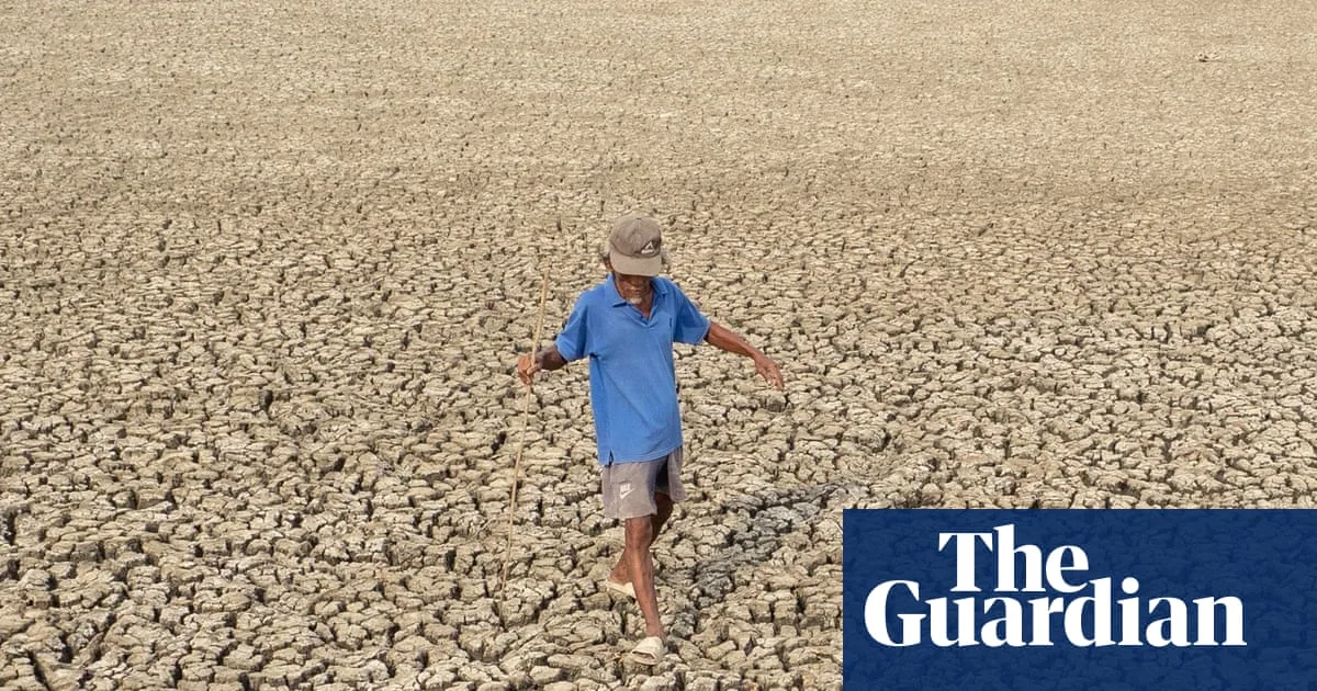
The most recent El Niño, in 2023-24, was one of the five strongest on record and contributed to record-breaking global temperatures in 2024. The WMO forecasts unusually high temperatures across most of the planet in the next three months, along with increased risks of extreme rainfall and drought. Typical impacts include heavier rain in parts of South America, the southern US, the Horn of Africa, and central Asia, while drier conditions affect Central America, the Caribbean, Australia, and parts of Asia.

The warning follows an unusually hot May in western Europe, with temperature records broken in the UK and Ireland. The WMO and UK Met Office have previously warned that a record-breaking hot year is almost certain before 2030, potentially as soon as 2027 with El Niño's return. Gareth Redmond-King of the Energy & Climate Intelligence Unit highlighted the threat to food supplies, already strained by climate breakdown and the Iran war's impact on fertiliser flows.
El Niño conditions occur every few years and last nine to 12 months, driven by changes in Pacific winds and sea surface temperatures. The WMO noted that sea surface temperatures in the Pacific approached El Niño thresholds in late April to mid-May. It rejected the term 'super El Niño' as unofficial. Early-warning systems have saved lives, but funding cuts from donors like the UK and US pose challenges. Guterres called for urgent climate action, including ending fossil fuel dependence and accelerating renewable energy.